
Rayong's new Wang Chan town plan shapes EEC land development
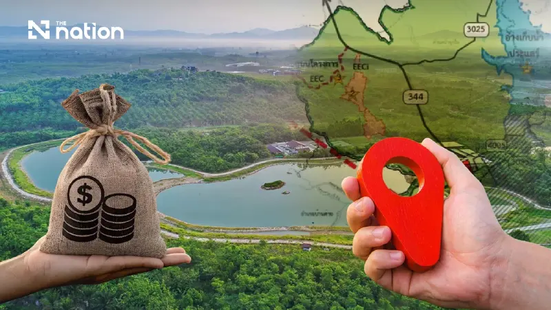


The new Wang Chan town plan in Rayong sets clear land use rules to support EEC growth while protecting agricultural areas and natural resources.
- A new town plan for Wang Chan, Rayong, has been enforced to structure land development in support of the Eastern Economic Corridor (EEC) while preserving agricultural and natural areas.
- The plan divides the district into 11 color-coded zones, including a special economic zone to promote innovation and EEC-related businesses, each with specific land use regulations.
- Investors and landowners must now adhere to strict rules on permitted business types, building sizes, and setbacks, which vary by zone and require detailed verification for each plot.
- The new framework directly impacts land valuation and development potential, increasing opportunities in designated commercial and EEC-support zones while placing greater restrictions on agricultural and conservation lands.
Area development in Wang Chan district, Rayong province, will henceforth fall under a clearer land use framework following the Ministry of Interior's announcement on the enforcement of the Wang Chan community town plan 2026, which took effect upon its publication in the Royal Gazette on Monday (September 7, 2026).
Organising to support EEC growth
The core of the new town plan is to organise areas to support the growth of the Eastern Economic Corridor (EEC), alongside preserving agricultural land, forests, water sources, and community environmental quality.
Consequently, landowners and entrepreneurs cannot base investment decisions solely on price or location.
They must also verify the colour-coded zone of their land plots, permitted business types, and restrictions on building size, height, construction area ratio, road width, and setbacks from highways or water sources.
Dividing areas into 11 zones to control development direction
The Wang Chan community town plan categorises land use into 11 main groups:
- Low-density residential (residential zone)
- Medium-density residential (residential zone)
- Commercial and high-density residential (commercial zone)
- Special economic promotional zone for special businesses (special economic zone)
- Rural and agricultural (farming zone)
- Agricultural land reform zone (state-allocated farming zone)
- Open space for recreation and environmental quality preservation (open space zone)
- Forest conservation area (conservation zone)
- Educational institution (educational zone)
- Religious institution (religious zone)
- Government institution, public utilities and amenities (government zone)
This zoning reflects the direction to develop the Wang Chan community into a district-level administrative, commercial, and service centre.
Simultaneously, it must accommodate innovation activities and EEC investments without allowing uncontrolled urban expansion into agricultural areas or natural resources.
Paving the way for the innovation economy, but not a free industrial zone
An area playing a crucial role in investment is the special economic promotional zone for special businesses (special economic zone), designated to support innovation activities, research and development, related businesses, as well as housing, commerce, and services for local personnel.
However, this zoning does not mean all types of factories or businesses can automatically operate there.
Investments must still comply with the factory category list annexed to the announcement, the Eastern Economic Corridor laws, factory laws, building control laws, and environmental laws.
This issue therefore affects investors holding or seeking land in Wang Chan, particularly technology businesses, research centres, modern industries, and service businesses related to the EEC.
Although they are granted opportunities through designated supporting areas, they must still thoroughly verify plot-level regulations.
Factories must check the annexed list on a business-by-business basis
The town plan includes a detailed list of factory categories or types separated by each area type.
Therefore, it cannot simply be concluded that "factories cannot be established in green zones" or "all types of factories can be established in special economic zones".
Some factory types can only operate in designated areas, some are permitted only for specific production processes, and certain businesses are restricted to specific sub-areas according to the remarks at the end of the table.
Businesses related to the processing of agricultural products, food, rubber, wood, or local raw materials have a higher chance of approval than those unrelated to the area's economic base.
However, impacts concerning odour, noise, dust, wastewater, chemicals, and hazardous materials must also be considered.
Therefore, the word "permitted" in the factory category table does not mean immediate approval, as projects must still pass regulations regarding buildings, environment, public health, and other specific laws.
Residential and commercial areas restrict businesses risking community impact
Both low-density and medium-density residential areas are open for housing, government offices, public utilities, and community-appropriate businesses, but restrict operations that may impact the public.
Businesses prohibited or strictly controlled in many areas include certain types of factories, oil depots, oil storage facilities, liquefied petroleum gas depots or stations, commercial animal farming, large hotels, entertainment venues, warehouses, transport terminals, racing tracks, shooting ranges, hazardous material storage facilities, waste or sewage disposal, and scrap trading or storage businesses.
Even commercial and high-density residential areas, which support shops, offices, services, and residential buildings, are not fully open to all business types, especially those posing risks to community health, safety, and the environment.
Large buildings must consider plot size, roads, and setbacks
Another impact concerns property development, as the town plan dictates the floor area ratio, building coverage ratio, building height, total building area, and open space around buildings.
Residential complexes, commercial buildings, hotels, dormitories, warehouses, transport terminals, or buildings with a large number of users may need to be located along public roads with standard right-of-way widths.
Therefore, cases may arise where a business is permitted according to the town plan colour code but cannot be fully developed because the front road is too narrow or the plot size is insufficient.
Furthermore, there are setback requirements from National Highway 344, as well as along canals, reservoirs, and major water sources, which will affect the net construction area and development value of some plots.
Agricultural areas remain developable but must relate to the local economic base
Rural and agricultural land (farming zone) is primarily designated for agriculture, farmers' residences, government operations, public utilities, and activities supporting the agricultural sector.
However, the town plan does not block all economic activities; rather, it prefers businesses linked to the agricultural sector, such as produce aggregation, processing, and agricultural support businesses, over converting the area into industrial estates or large commercial projects.
These regulations help slow down the speculative transfer of agricultural land, but conversely, they may limit landowners' options if they wish to develop housing estates, large buildings, warehouses, or non-agricultural businesses.
As for the agricultural land reform zone (state-allocated farming zone), it must primarily be used according to the agricultural land reform law.
The town plan zoning does not eliminate restrictions under specific laws.
Controlling forest and water areas reduces the risk of overdevelopment
Open spaces, forest conservation areas, rivers, canals, reservoirs, swamps, marshes, and natural resource areas are designated as essential components of urban development, not areas awaiting construction.
These areas play roles in preserving environmental quality, serving as recreational spaces, conserving watersheds, and holding water during the rainy season.
Therefore, construction or utilisation that obstructs waterways, reduces drainage efficiency, or impacts natural resources is restricted.
The water plan annexed to the announcement also connects internal and external waterways to prevent and mitigate floods.
This means investment projects may need to provide waterways, water retention areas, or additional drainage measures, even if the land is not directly located in a conservation area.
Planning new roads to support urban growth
The town plan outlines future transport networks of various sizes, ranging from 12-metre to 40-metre rights-of-way, including areas for passenger terminals or transport centres.
Land located along proposed road alignments will face use restrictions, primarily reserved for building roads, public utilities, amenities, and related structures.
Landowners must therefore check whether their plots fall within proposed road alignments, as this could affect construction permits, land subdivision, land potential assessment, and long-term investment plans.
Conversely, land near new road networks may see increased potential due to better accessibility, especially commercial areas, residential areas, and special economic promotional zones.
Impacting land valuation and investment decisions
Although the town plan does not change land ownership, it directly alters the land's "utilisation potential".
Plots in commercial areas, high-density residential zones, or special economic promotional zones may have increased development opportunities, while those in agricultural areas, forest conservation, open spaces, waterway alignments, or proposed road alignments will face more restrictions.
The impact therefore covers land trading prices, loan applications, project viability, and the time required for permit approval, especially for investors who purchased land before the town plan's announcement but have not yet begun development.
Must check down to the plot level before buying or developing land
For landowners, entrepreneurs, and investors, simply checking the zone colour on a map may not be enough.
They must collectively consider at least six factors:
- Area code and plot sub-area
- Permitted or prohibited business types
- The factory category list annexed to the announcement
- Plot size, height, and total building area
- Road width and setbacks from roads or water sources
- Specific laws such as the EEC, land reform, forestry, factory, and environmental laws
The new Wang Chan community town plan is thus both a tool to open areas for the innovation economy and a measure to prevent overdevelopment.
Beneficiaries will be projects aligning with the EEC's direction, processed agriculture, and community support activities, while businesses requiring extensive space, generating pollution, or unrelated to the area's potential will inevitably face stricter conditions.
