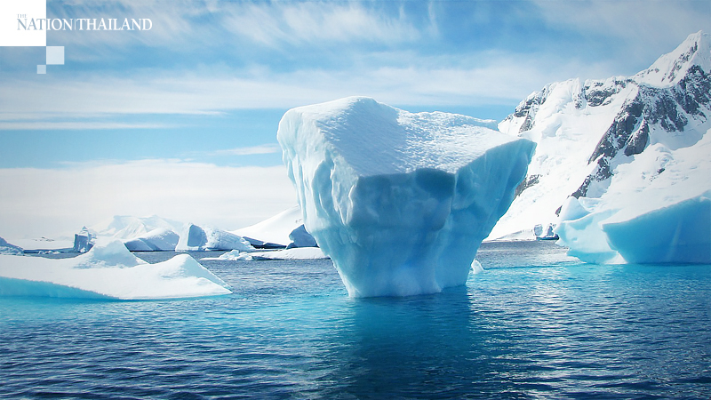
Arctic sea ice is in a downward spiral, and may break a record in 2020

If one were to design a weather pattern that's most efficient at ridding the Arctic of its increasingly fragile ice cover during the region's summer melt season, it would look like what occurred earlier in the month - clear skies, above-average air temperatures, a high-pressure system across the Central Arctic and an ongoing heat wave and wildfires in Siberia.
A recent study concluded that the unusual warmth in Siberia could not have happened in the absence of human-caused global warming.
Sea ice loss accelerated in early-to-mid July, bringing sea ice extent - which measures the area of ocean where there's some ice cover, down to record low levels for this time of the year.
As of Saturday, the Arctic as a region had an ice extent that was about 193,000 square miles below the previous record low for the date, using data from the Japanese Aerospace Exploration Agency.
In other words, the difference between the sea ice extent on July 18, 2020 and the previous record low for the same date is equivalent to the states of Colorado and Oklahoma combined.
According to the National Snow and Ice Data Center (NSIDC) in Boulder, Colo., which tracks ice trends and climate change, the record low ice extent is in part the result of the Siberian heat streak that has lasted from January through June, and into July.
As a result of record warm temperatures all the way to Russia's Arctic shoreline, with wildfires spotted by satellite near the coast, well above the Arctic Circle, sea ice retreated early along the Siberian coast.
Extremely low sea ice cover can now be found in the Laptev and Barents seas, in particular, NSIDC reported Thursday. "The Northern Sea route appears to be nearly open," the agency stated in a news update. This means lucrative shipping of liquefied natural gas (LNG) and other valuable goods can begin along a still treacherous route over the top of Russia, offering faster access to Asian ports from the North Atlantic.
In fact, one LNG tanker set out from the port of Sabetta, on Russia's Yamal Peninsula on May 18, accompanied by a heavy duty icebreaker. This was the earliest date of such a Northern Sea Route voyage on record, according to the Barents Observer.
"In the Laptev and East Siberian Seas, the sea ice extent is tracking at the record lowest," said Julienne Stroeve, a senior researcher at NSIDC, via email.
"This May, the melt ponds were quite unusual in the East Siberian Sea, which likely contributed to early melting out of the sea ice, but also because the Arctic Oscillation was strongly positive over winter this led to lots of new ice formation in that region, which was relatively thin to start with and thus the ice easily melted away with the heat wave in that region," Stroeve wrote, referring to a weather pattern that affects the distribution of air pressure across the Arctic and North Atlantic oceans.
"Now melt ponds are quite widespread over much of the Arctic Ocean, with anomalously more melt pond development north of Greenland and the Canadian Archipelago, which is also helping to hasten ice melt elsewhere," she said.
Stroeve took part in a scientific expedition known as MOSAiC, in which a ship with scientists onboard has drifted with the Arctic ice pack for about a year to learn more about this rapidly changing environment. The Arctic region is warming at a rate that is about three times as fast as the rest of the globe, driving myriad changes in the environment, from ice melt to permafrost thaw and increased wildfire activity.
Stroeve said her time aboard the ship during the winter showed her that much of the sea ice in the High Arctic was "relatively thin second year ice" that grew from about 2 feet to 6.5 feet thick by the time she left the ship in early March.
"The amount of surface melting we are seeing could easily melt out ice" of that thickness, she said. "Thus I do have a feeling we are on track to reach a new record low for September."
"However, weather patterns could change and slow the ice melt, but given how warm the first part of July was over most of the Arctic Ocean, I'm not so sure we can stop the inevitable . . ."
The year with the record lowest sea ice extent was 2012, and that record occurred as a result of both long-term climate change gradually causing Arctic ice cover to become younger and thinner over time, as well as weather that favored rapid ice loss.
How weather patterns evolve over the next two months will help determine whether 2020 becomes a record melt season.
"Weather conditions can change and slow things down quite quickly," said Walt Meier, a senior research scientist at NSIDC. "A record low is possible, but I would say 50/50 at best. We'd need to continue weather patterns advantageous for ice loss through August to remain on a pace to go below the 2012 record minimum."
Whether this year breaks the 2012 record, computer models are virtually unanimous in showing the occurrence of seasonal ice-free conditions there by mid-century.
