
Satellites to show the way forward for Mekong region
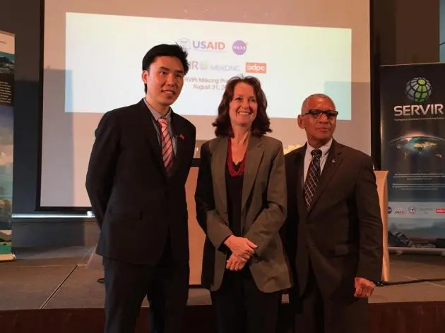


EFFICIENT NATURAL resource management, disaster warning and a reduction in the effects of climate change on the Lower Mekong region will be enhanced thanks to the SERVIR - Mekong project.
For years it has provided satellite images to allow responsible agencies to make more informed decisions for the betterment of the region.
The SERVIR – Mekong project is funded by the United States Agency for International Development (USAID) and implemented by the Asian Disaster Preparedness Centre by using satellite images and information provided by US National Aeronautics and Space Administration (NASA).
The project will operate for a five-year period from 2014 to 2018.
Beth Paige, director of the USAID Regional Development Mission for Asia, pointed out that 75 per cent of people in the Lower Mekong region – Myanmar, Laos, Thailand, Cambodia and Vietnam – make a living from agriculture and this region was also home to three of the world’s largest rice producing countries. Therefore, this region is very sensitive to climate change and other disasters.
“These tools [geospatial information] help make more informed decisions on critical issues that impact people across the region, such as water management, land use planning, disaster risk reduction, infrastructure development and natural resource management,” Paige said.
“Informed decisions about issues such as these can save lives, preserve livelihoods and bring about greater resiliency in communities. That’s what drives all of us to embrace this partnership,” she said.
Peeranan Towashiraporn, director of the Asian Disaster Preparedness Centre, explained that information from the satellites was not only from aerial pictures. Satellites also have sensors to measure the temperature, soil moisture and many indicators that can identify the current hydrology and climate of the Mekong River region.
“The information we provide is very broad, as we will give out the information based on requests from responsible agencies. However, water management, disaster prevention and climate change are the big issues for the Mekong region countries,” Peeranan said.
As the Mekong River has many dams and many more are under construction or being planned, he said he acknowledged the dams’ impact on the river flow and ecology. He disclosed that USAID was planning to collaborate with the government of Laos to get the irrigation information from the dams in Laos to support information from NASA.
NASA administrator Major General Charles Frank Bolden said the data provided by NASA came from 17 satellites orbiting the globe and also from the cameras on two international space stations. The highest resolution satellite images could zoom up to 15 metres and not only with latest data. The information can be traced back for 40 years.
Bolden emphasised that using knowledge and technology to save the world was the important issue and NASA was one agency that used science to evaluate and improve ecosystems around the globe.
“There is the need to know about the land cover, flood, drought and precipitation which we can obtain from our earth observation satellites. The information will pass on to the people to use the data in the way that is important and useful to them,” he said.
Peeranan said that the SERVIR – Mekong project was not only the information provider for decision-makers in the target countries, but it is also the medium for agencies responsible to local people and in helping the people to better cope with the climate change and disaster.
“We have collaboration with the five Lower Mekong region countries in order to enhance their decisions with this updated information. We also work with five universities in five counties as well, and we are looking to be a partnership with more academic institutions in the future,” he said.
He explained that working with universities would help more people who have little scientific knowledge to understand the information that has such an impact to their livelihoods.
He also said the information from the project was open to the public at http://servir.adpc.net, while the language used in the website was English. But in future, the information would be translated into the native languages of five countries.
Considering the project would end in 2018, Peeranan assured the work would continue, despite no project extension.
“The five years period of the project is indeed the initial period. It aims to build a reputation and trust among the stakeholders and build the tools that require, after the project ends, that the works still carry on beyond the end of the project,” he said.
