
TMD issues seven-day heavy rain warning from October 19
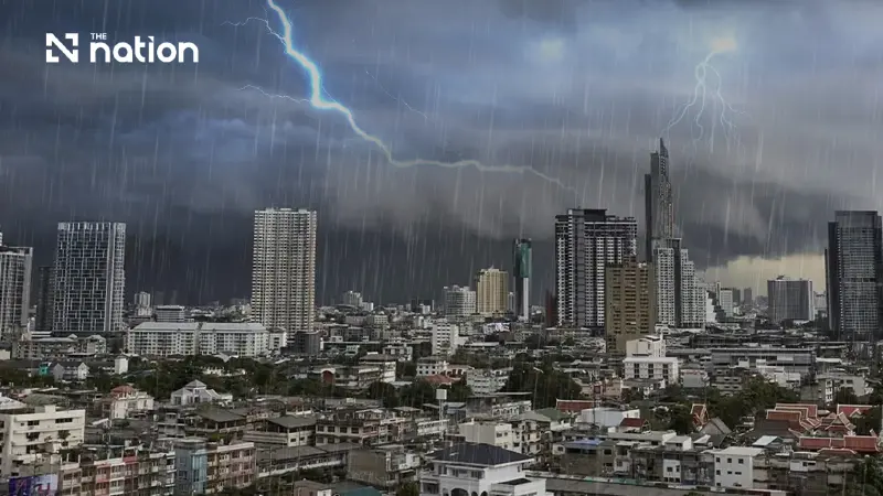


Bangkok and nearby provinces face heavier rain from October 21 as Thai forecasters warn of flash floods, landslides and strong gusts
- The Thai Meteorological Department has issued a seven-day warning for heavy to very heavy rain in parts of Thailand, effective from October 19 to October 25.
- The rain will initially affect the South and East, before expanding to include the lower Northeast, the Central region (including Bangkok), and the upper South from October 21.
- The warning highlights risks of flash floods, landslides, and strong gusts, as well as waves potentially exceeding three meters in the Andaman Sea and Gulf of Thailand during thunderstorms.
The Thai Meteorological Department (TMD) issued a seven-day warning on October 19, 2026, forecasting heavy to very heavy rain in parts of Thailand through October 25. Persistent rain is expected initially in the South and East, before heavier rainfall affects additional regions, including Bangkok, from October 21.
The department’s fifth announcement on the weather system, numbered 264/2569, was issued at 5am Thai time. The warning highlights risks from strong gusts and accumulated rainfall, including flash floods, forest run-off and landslides.
Southern and eastern Thailand face persistent rain first
The TMD forecasts continuing rain in the South and East on October 19–20, with heavy to very heavy downpours in some areas.
From October 21–25, the department expects increased rainfall in the lower Northeast, the Central region including Bangkok and surrounding provinces, the East and the upper South. Some areas face heavy to very heavy rain, with strong gusts in isolated locations.
The TMD advises residents in the affected regions to watch for flooding and landslides, particularly on foothill slopes near waterways and in low-lying areas. Travellers should avoid routes repeatedly affected by flooding, especially low-lying stretches where water can accumulate.
Monsoon trough shifts north as Chinese air mass spreads
The TMD attributes the initial rainfall to a monsoon trough extending across the lower South, combined with the southwest monsoon over the lower Andaman Sea.
The monsoon trough is subsequently expected to move north over the middle part of southern Thailand. Meanwhile, a high-pressure system, or cool air mass, from China is forecast to extend over the upper North, upper Northeast and South China Sea.
Thunderstorms could produce waves above three metres
The TMD warns that waves in the Andaman Sea and Gulf of Thailand could exceed three metres in areas experiencing thunderstorms. Boat operators in both seas should navigate cautiously and avoid storm-affected waters.
The department advises the public to plan daily activities and travel carefully during the warning period to reduce potential disruption and danger.
Residents can follow further announcements through the Thai Meteorological Department’s website or obtain information around the clock by calling 02-399-4012, 02-399-4013 or 1182.
The TMD’s next announcement is scheduled for 5pm Thai time on October 19.
