
TMD warns of eight days of heavy rain, flood and landslide risks
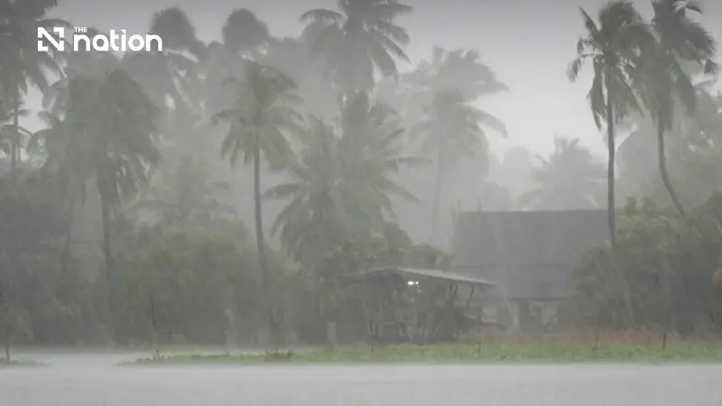


Thailand faces heavy to very heavy rain from October 18–25, with the South and East affected first before wetter conditions spread to Bangkok and other regions.
The Thai Meteorological Department (TMD) has issued a fresh warning of heavy to very heavy rain across parts of Thailand from October 18–25, raising the risk of flash floods, overflows and landslides in vulnerable areas.
In its first advisory on the new spell of severe weather, issued on Saturday (October 17), the TMD said the South and East would experience persistent rain with isolated heavy to very heavy falls from October 18–20.
Conditions are then expected to intensify from October 21–25, when rainfall will increase across the lower Northeast, Central region including Bangkok and surrounding provinces, the East and upper South, with isolated heavy to very heavy rain and gusty winds.
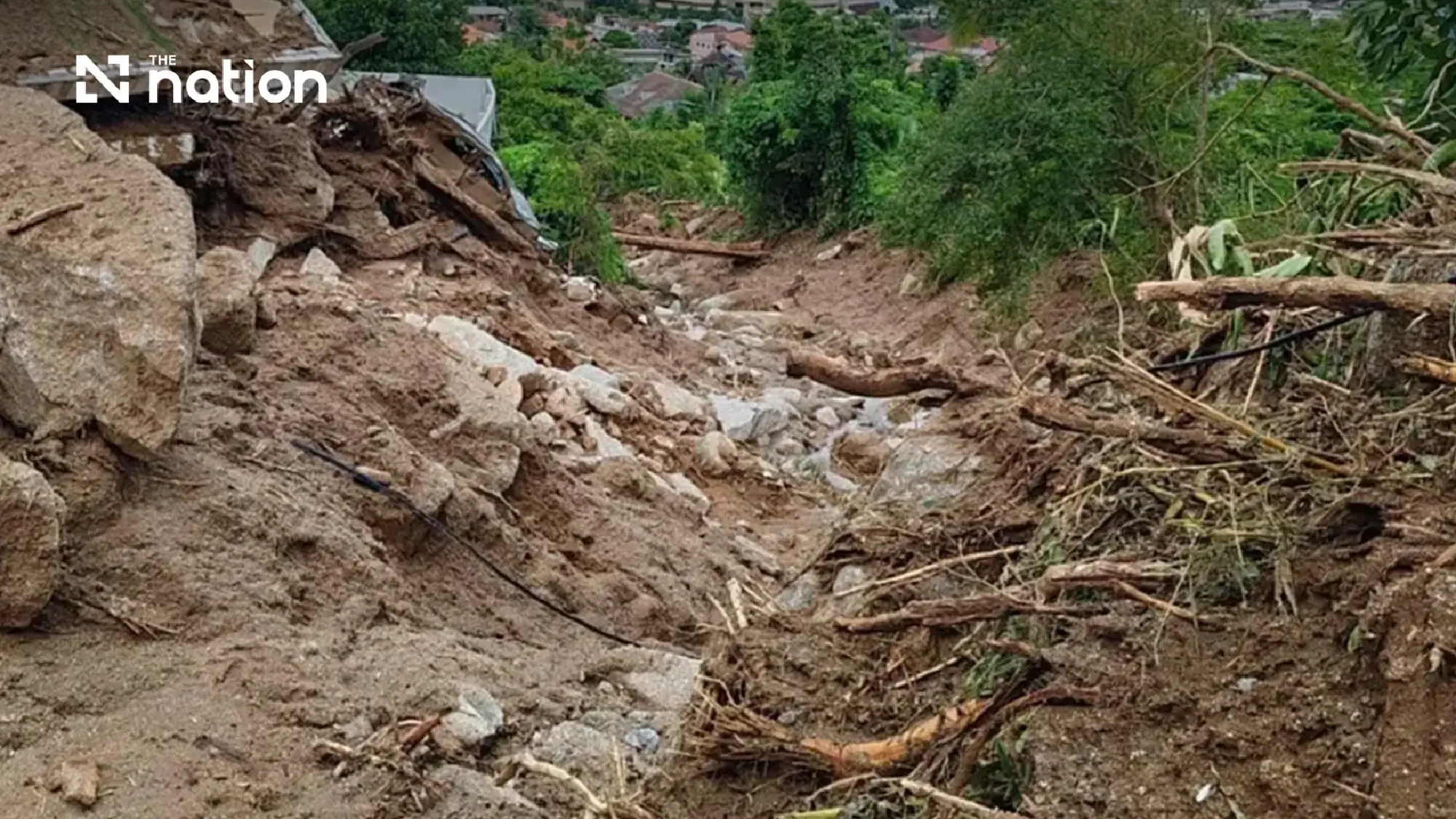

Flood and landslide risks rise
The TMD urged people in affected areas to beware of strong winds, heavy accumulated rainfall and rapidly changing conditions that could trigger flash floods, overflowing waterways and landslides.
Particular caution is advised in foothill communities near waterways and in low-lying areas, where water could accumulate quickly.
Residents should also avoid routes with a history of repeated flooding, especially low-lying roads that could become temporarily impassable after intense rain.
Monsoon trough drives prolonged rainfall
The prolonged wet weather is being driven initially by a monsoon trough lying across the lower South, combined with the southwest monsoon prevailing over the lower Andaman Sea.
The monsoon trough is then expected to move northwards across the central South.
At the same time, a high-pressure system or cool air mass from China will extend across the upper North, upper Northeast and South China Sea, influencing weather patterns over Thailand.
The TMD’s seven-day outlook similarly forecasts heavy to very heavy rain in parts of the South while changing atmospheric conditions bring renewed rainfall to other regions.
Waves could exceed three metres in thunderstorms
Marine conditions will also require close monitoring.
The TMD warned that waves in both the Andaman Sea and Gulf of Thailand could exceed three metres in thunderstorms during the affected period.
Mariners are advised to proceed with caution and avoid sailing through areas experiencing thunderstorms.

Heavy rain continues in parts of South
For the immediate forecast, thunderstorms are expected across 20% of the North, mainly in Mae Hong Son, Chiang Mai, Tak and Kamphaeng Phet. Temperatures will range from 21–26C overnight to highs of 33–36C.
The Northeast has a 10% chance of thunderstorms, mainly in Nakhon Ratchasima, Buri Ram, Surin, Si Sa Ket and Ubon Ratchathani, with temperatures of 21–35C.
Around 40% of the Central region is forecast to see thunderstorms, particularly Uthai Thani, Suphan Buri, Kanchanaburi, Ratchaburi, Nakhon Pathom, Samut Sakhon and Samut Songkhram.
The East also has thunderstorms across about 40% of the region, mainly in Sa Kaeo, Chachoengsao, Chonburi, Rayong, Chanthaburi and Trat. Seas will generally have waves below one metre, rising above two metres in thunderstorms.
Southern provinces face heaviest immediate rainfall
On the eastern coast of the South, thunderstorms are expected across 60% of the region, with isolated heavy rain in Nakhon Si Thammarat, Phatthalung, Songkhla, Pattani, Yala and Narathiwat.
The western coast will also see thunderstorms across about 60% of the area, with heavy rain possible in Krabi, Trang and Satun.
Waves on both southern coasts will generally be around one metre but could rise above two metres during thunderstorms in the immediate forecast.
Bangkok and surrounding provinces are forecast to have thunderstorms across around 40% of the area, with temperatures between 25C and 35C and easterly winds of 10–20 kilometres per hour.
The TMD urged the public to continue following official forecasts and warnings as conditions develop during the eight-day period.
