
FTI warns Thai firms of flood risks with water storage at 77% on Sept 28



The Federation of Thai Industries urges firms to protect workers and supply chains as flood risks persist despite easing rainfall.
- The Federation of Thai Industries (FTI) has warned businesses of ongoing flood risks as nationwide water storage reached 77% of capacity on September 28.
- Despite easing rainfall, the FTI highlights that risks remain high, particularly in the Chao Phraya and Mae Klong basins, as well as in western and eastern regions where reservoirs are at 89% and 85% capacity.
- The FTI is urging companies in at-risk areas to review their business continuity plans, secure assets and equipment, and prepare measures to protect employees.
- Businesses are advised to tailor their flood precautions to their specific location, as risks from accumulated rainfall, runoff, and upstream flows vary by area.
The Federation of Thai Industries (FTI) has urged businesses to review their flood precautions and business continuity plans despite easing rainfall, warning in its September 28, 2026 update that water-related risks remain across Thailand, particularly in the Chao Phraya and Mae Klong basins.
Preeda Vatchratiensakul, FTI vice-chairman and chairman of its Institute for Water, Environment and Climate Change, said the federation was continuously monitoring rainfall and water conditions. Risks differ by area because of accumulated rainfall, runoff, upstream flows, drainage in major river basins and water levels in dams and reservoirs.
The FTI’s coordination with provincial industry councils showed that impacts on member companies varied by location. The federation is therefore urging businesses to tailor their response to the actual risk in each area.
Water-storage data cited by the FTI for September 28 put the nationwide total at 61.808 billion cubic metres, or 77% of capacity.
FTI urges firms to protect workers and prepare for disruption
The FTI urged businesses in risk areas to move raw materials, chemicals, equipment and important assets to safe locations. Firms should inspect electrical systems, machinery, pumps, flood barriers and potential water-entry points, while preparing measures to protect employees and manage travel to and from their premises.
Business continuity plans (BCPs) should be reviewed and ready for implementation, the FTI advised. Plans should cover production, workers, transport, raw materials, electricity and water supplies, suppliers, customers and supply chains in case operations are affected or interrupted.
For premises already flooded, the FTI called for stricter safety measures covering personnel, electrical systems, machinery, chemicals, oil, wastewater-treatment systems, industrial waste and hazardous waste to prevent harm to surrounding communities and the environment.
“Although the overall rainfall trend has begun to ease, water-related risks have not ended, particularly in the Chao Phraya and Mae Klong basins, where upstream flows and water-discharge management still require close monitoring,” Preeda said. “The industrial sector therefore needs to manage risks on an area-by-area basis and review its business continuity plans to ensure they are ready for use, in order to maintain safety and business continuity and reduce impacts on supply chains, communities and the environment.”

Rising Chao Phraya flows require downstream monitoring
In the Chao Phraya basin, station C.2 in Mueang Nakhon Sawan district recorded a flow of 1,904 cubic metres per second at 6am on September 28, up from September 27, according to figures cited by the FTI. The water level was 22.47 metres above mean sea level, or 3.23 metres below riverbank level.
Chao Phraya Dam releases stood at 1,950 cubic metres per second at 6am on September 28. According to the FTI, the Royal Irrigation Department (RID) was considering a discharge range of 2,000–2,500 cubic metres per second, while aiming to keep actual releases at no more than about 2,300 cubic metres per second, depending on upstream flows and local rainfall.
Higher releases could raise water levels in the middle and lower reaches of the Chao Phraya, the FTI warned. Areas requiring continued monitoring extend from Chai Nat through Sing Buri, Ang Thong, Phra Nakhon Si Ayutthaya, Pathum Thani and Nonthaburi to Bangkok, particularly low-lying land, riverside areas, locations outside flood embankments and areas linked to manufacturing and logistics hubs.
The FTI advised downstream businesses to monitor station C.2, Chao Phraya Dam discharge, water levels at stations along the river and station C.29 at Bang Sai, using the readings to adjust flood precautions and business continuity plans.
FTI warns of flood risks to western businesses and logistics
The FTI warned of risks to western Thailand’s business premises, workers, transport routes, raw materials, deliveries and logistics networks linking the region with Samut Sakhon, Bangkok and the lower Central region.
Western Thailand requires close monitoring because of accumulated rainfall, high reservoir storage and continuing upstream inflows, the FTI said. Kanchanaburi recorded the region’s highest rainfall at 238 millimetres, while western reservoirs stood at about 89% of capacity.
Regional Irrigation Office 13 issued an official warning about increasing Mae Klong Dam discharge to more than 1,500 cubic metres per second, according to the FTI. Water volumes in the Khwae Noi and Khwae Yai rivers were continuing to rise, with downstream water levels also expected to increase.
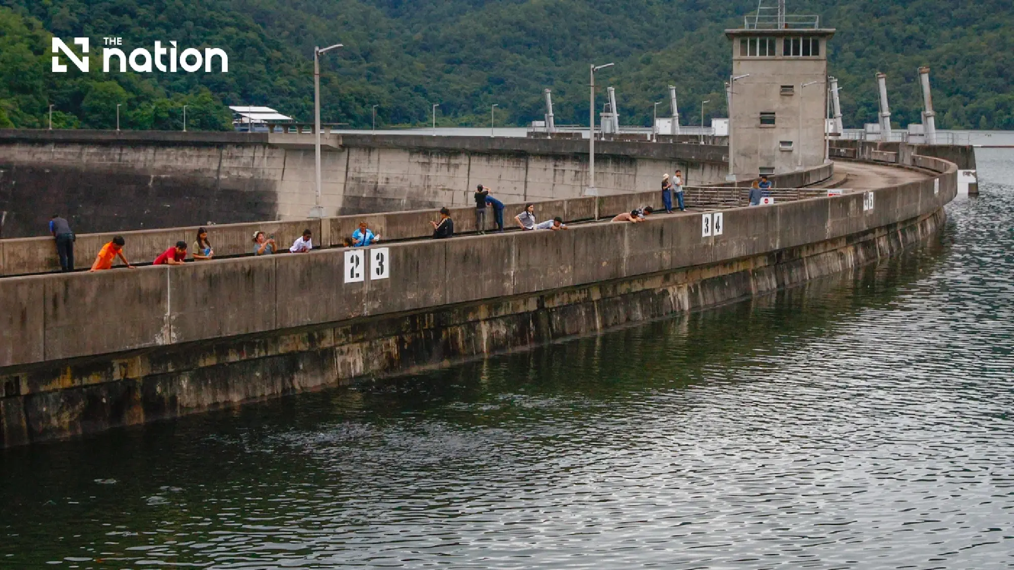
At 6am on September 28, Mae Klong Dam was releasing 1,313 cubic metres per second, with upstream and downstream levels of 22.40 metres and 15.93 metres above mean sea level respectively, according to the figures cited by the FTI.
The FTI urged close monitoring in Kanchanaburi, Ratchaburi and Samut Songkhram, especially along rivers, in low-lying areas and outside flood-protection barriers.
Vajiralongkorn, Srinagarind and Kaeng Krachan dams also require monitoring, the FTI noted, because accumulated rainfall and reservoir volumes will influence subsequent water-management decisions.
Eastern industrial areas face upstream risks with reservoirs at 85%
The FTI called for continued monitoring in eastern Thailand, where reservoirs held about 2.695 billion cubic metres, or 85% of capacity. Rayong recorded the region’s highest rainfall at 289 millimetres.
The FTI identified the following areas for particular attention:
- Nakhon Nayok: Water from Khao Yai continues to flow into Khun Dan Prakan Chon Dam.
- Prachinburi: The province is receiving water from the Hanuman River and Phra Prong Canal.
- Sa Kaeo: Water discharge from Phra Sathung Canal is being managed.
- Chachoengsao: Khlong Si Yat Reservoir and the Bang Pakong River require monitoring.
- Chonburi, Rayong, Chanthaburi and Trat: Water levels, drainage and effects on communities, transport and industrial areas require continued monitoring.
The FTI warned that easing rainfall in some areas did not remove the need to track river levels, reservoir volumes, areas downstream of reservoirs and conditions around industrial zones. Upstream water could still affect downstream production, transport and public utilities.
Rainfall forecast to ease while regional flood risks persist
The Thai Meteorological Department forecast less rain across Thailand from September 29 to October 3, 2026, although isolated heavy rain was still expected in western parts of the North and Central regions, according to the FTI update. Accumulated rainfall, runoff and water moving downstream therefore require continued monitoring.
Areas identified in the FTI’s September 28 update as being at risk of heavy to very heavy rain were Tak, Kamphaeng Phet, Nakhon Sawan, Uthai Thani, Suphan Buri, Kanchanaburi, Ratchaburi, Nakhon Nayok, Chonburi, Rayong, Chanthaburi, Trat, Phetchaburi, Prachuap Khiri Khan, Ranong and Phang Nga.
The FTI’s September 28 update also cited rainfall readings of 110 millimetres in Uthai Thani and 92 millimetres in Suphan Buri. Ranong recorded the South’s highest rainfall at about 135 millimetres.
The Office of the National Water Resources called for monitoring of runoff and flooding from September 26–30, 2026 across parts of the North, Central, West and East, Bangkok and surrounding provinces, and parts of the South, according to the FTI. Ranong was among the areas requiring particular attention, while foothill and riverside locations remained at risk of flash floods and rapid runoff.
The FTI advised businesses to follow updates from the Thai Meteorological Department, ThaiWater and the Hydro-Informatics Institute (Public Organization), the RID, the Office of the National Water Resources, the Department of Disaster Prevention and Mitigation, and provincial industry councils, using the information to reassess conditions and adjust measures for each location.
