Thailand floods block 56 highway locations on September 28
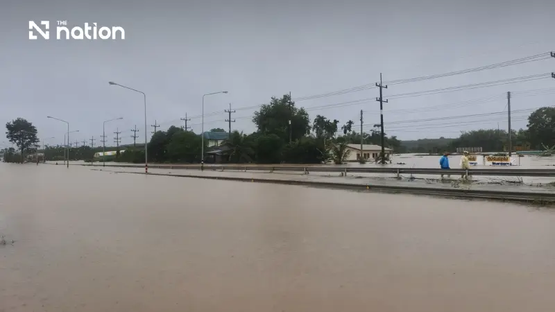


Flooding affects 228 highway locations across 26 Thai provinces, with route updates and assistance available through the free 1586 hotline.
- On September 28, flooding rendered 56 highway locations across Thailand impassable.
- The province of Prachinburi was the most affected with 14 impassable locations, followed by Nonthaburi (9), Rayong (8), and Bangkok (7).
- In total, the flooding impacted 228 highway locations across 26 provinces, according to the Department of Highways.
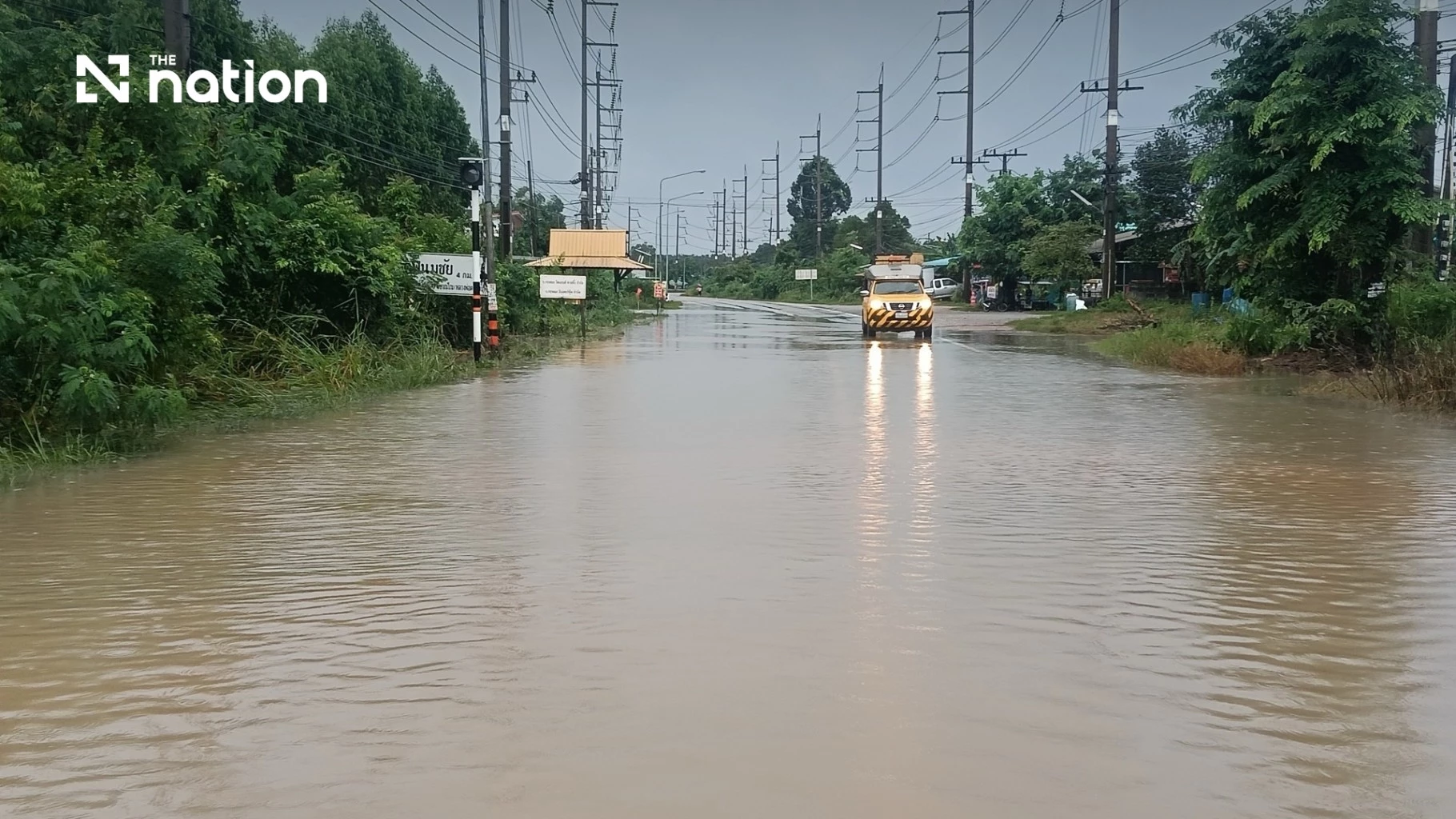
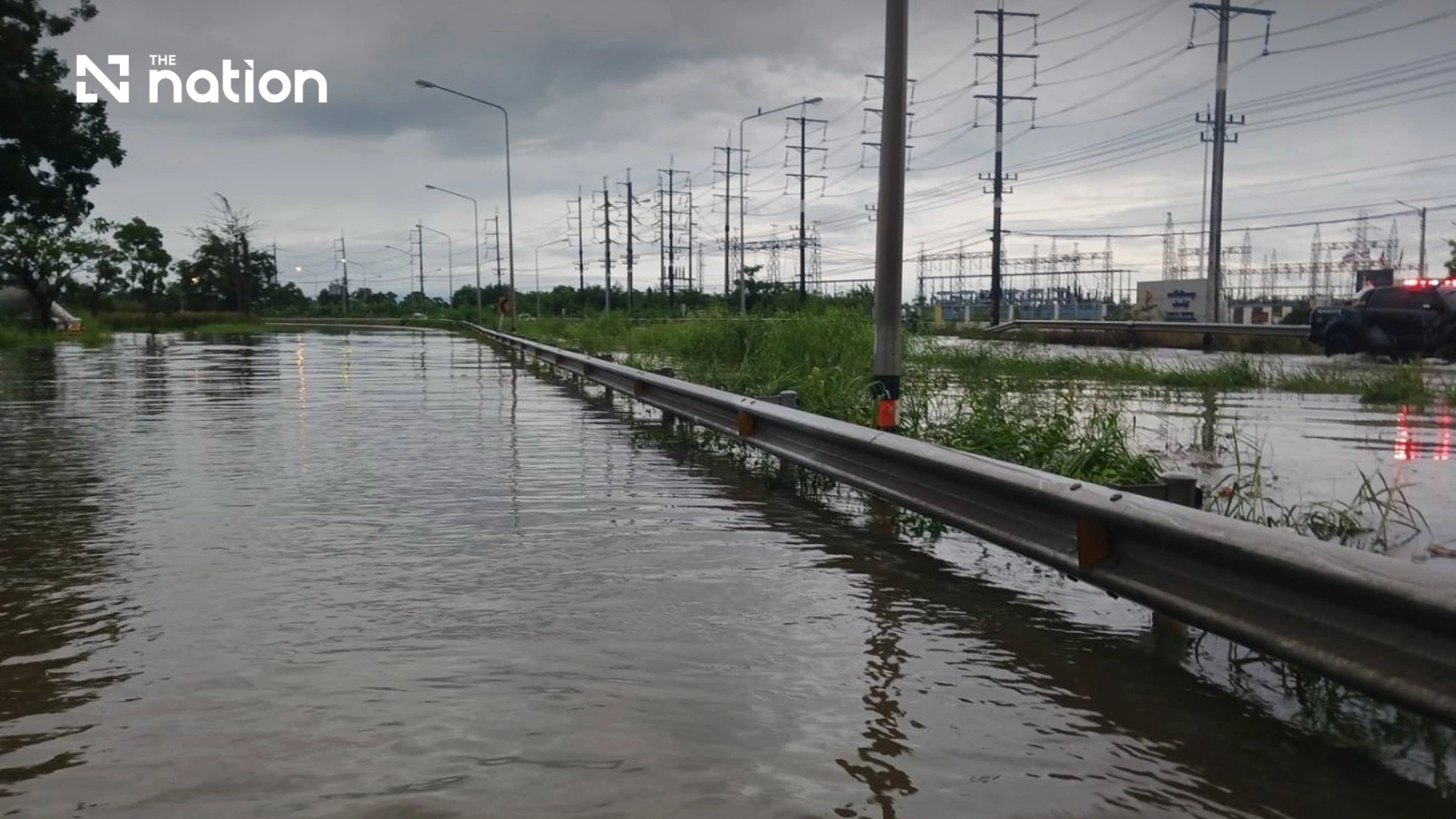
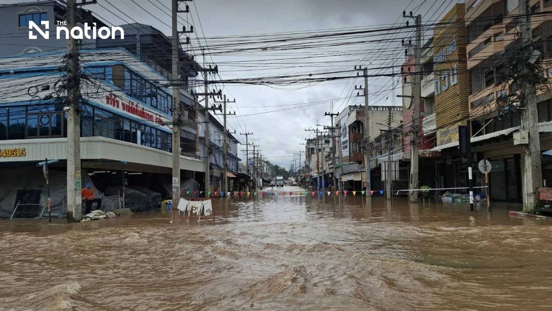
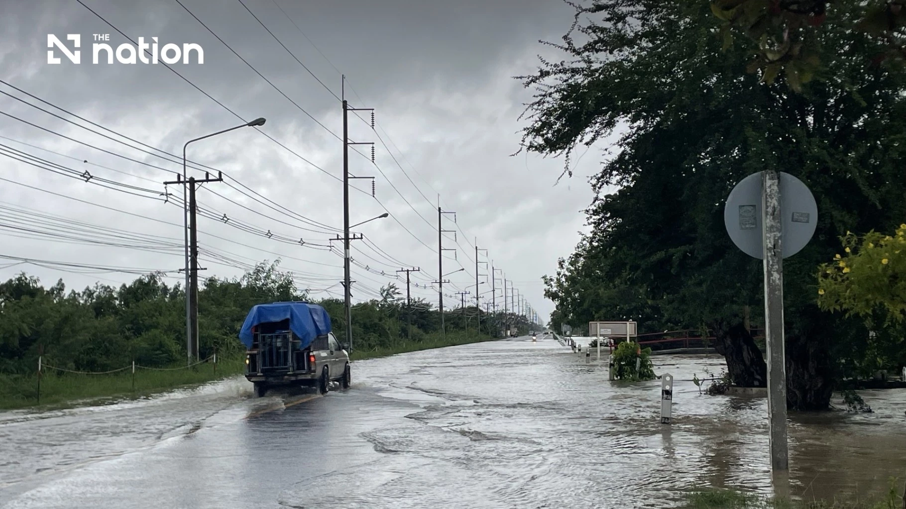
The Department of Highways (DOH) reported 56 impassable highway locations across Thailand on Monday (September 28, 2026), with flooding affecting 228 locations in 26 provinces.
Prachinburi recorded the highest number of impassable locations, at 14, followed by Nonthaburi with nine, Rayong with eight and Bangkok with seven, according to the department’s Disaster Incident Command Centre.
Bangkok highway disruption includes two sections of Highway 31
Bangkok’s seven impassable locations included two stretches of Highway 31, running from Din Daeng to Ngam Wong Wan and from Ngam Wong Wan to Don Mueang. Other affected locations in the capital were on Highways 3901, 3902 and 304.

Nonthaburi’s nine impassable locations were on Highways 9, 302, 307 and 3901, while five of Rayong’s eight locations were on Highway 3.
Thailand’s 56 highway locations reported as impassable
The DOH’s Disaster Incident Command Centre listed the following highway points and stretches as impassable in its September 28 report.
Bangkok: seven impassable locations
- Highway No. 31, Din Daeng–Ngam Wong Wan, km 9+200–14+700.
- Highway No. 31, Ngam Wong Wan–Don Mueang, km 14+700–28+500.
- Highway No. 3902, Khu Bon–Prawet, km 56+186.
- Highway No. 3902, Khu Bon–Prawet, km 59+812.
- Highway No. 3901, Khlong Phraya Suren–Prawet, km 56+140.
- Highway No. 3901, Khlong Phraya Suren–Prawet, km 52+400.
- Highway No. 304, Min Buri Intersection–Khlong Luang Phaeng, km 40+380–40+420.
Kanchanaburi: one impassable location
- Highway No. 3480, Plak Pradu–Tham Than Lot, km 30+109–30+121.
Chanthaburi: one impassable location
- Highway No. 3409, Chak Thai–Thung Chan Dam, km 2+525–2+575.
Chachoengsao: three impassable locations
- Highway No. 3076, Na Noi Intersection–Ang Rue Nai, km 130+841–131+800.
- Highway No. 3076, Wang Khon–Na Noi Intersection, km 59+382–69+000.
- Highway No. 3076, Na Noi Intersection–Ang Rue Nai, km 69+500–71+500.
Trat: one impassable location
- Highway No. 3158, Saen Tung–Nong Bua, km 29+600–30+400.
Nakhon Ratchasima: one impassable location
- Highway No. 2235, Nong Sarai–Nong Song Hong, km 0+000–0+100.
Nonthaburi: nine impassable locations
- Highway No. 9, Khlong Maha Sawat–Khlong Bang Phai, km 32+916.
- Highway No. 3901, Khlong Maha Sawat–Khlong Bang Phai, km 33+908.
- Highway No. 302, Phra Nang Klao Bridge–Bang Yai Interchange, km 16+625.
- Highway No. 302, Phra Nang Klao Bridge–Bang Yai Interchange, km 17+122.
- Highway No. 302, Phra Nang Klao Bridge–Bang Yai Interchange, km 17+123.
- Highway No. 302, Phra Nang Klao Bridge–Bang Yai Interchange, km 16+620.
- Highway No. 9, Khlong Bang Phai–Khlong Bang Luang, km 45+150–45+151.
- Highway No. 9, Khlong Maha Sawat–Khlong Bang Phai, km 38+835.
- Highway No. 307, Suan Somdet Intersection–Nonthaburi Bridge, km 0+900–0+942.
Prachinburi: 14 impassable locations
- Highway No. 304, Lat Takhian–Kabin Buri Intersection, km 162+900–164+700.
- Highway No. 304, Lat Takhian–Kabin Buri Intersection, km 165+500–165+860.
- Highway No. 304, Kabin Buri Intersection–Wang Nam Khiao, km 165+860–166+575.
- Highway No. 304, Kabin Buri Intersection–Wang Nam Khiao, km 171+300–172+100.
- Highway No. 3627, Khok Hom–Khlong Hae, km 0+000–6+122.
- Highway No. 33, Prachantakham–Phra Prong, km 171+500–173+140.
- Highway No. 33, Chik Sung–Prachantakham, km 169+300–169+571.
- Highway No. 33, Prachantakham–Phra Prong, km 169+571–170+800.
- Highway No. 33, Prachantakham–Phra Prong, km 215+400–215+815.
- Highway No. 33, Prachantakham–Phra Prong, km 216+150–218+359.
- Highway No. 3649, Khung Yo–Huai Khue, km 26+800–30+354.
- Highway No. 3452, Dong Phra Ram–Huai Khue, km 10+900–15+875.
- Highway No. 3079, Si Maha Phot–Phaya Chai, km 31+200–31+700.
- Highway No. 319, Phai Cha Lueat–Khok Thai, km 35+800–38+238.
Phra Nakhon Si Ayutthaya: four impassable locations
- Highway No. 32, Nakhon Luang–Ang Thong, km 33+100.
- Highway No. 32, Nakhon Luang–Ang Thong, km 32+600.
- Highway No. 32, Nakhon Luang–Ang Thong, km 39+850–39+950.
- Highway No. 32, Nakhon Luang–Ang Thong, km 41+800–41+950.
Ranong: one impassable location
- Highway No. 4, Siap Yuan–Kra Buri, km 523+750–523+760.
Rayong: eight impassable locations
- Highway No. 3, Kached–Na Yai Am, km 270+300–278+000.
- Highway No. 3, Kached–Na Yai Am, km 273+000–275+400.
- Highway No. 3, Kached–Na Yai Am, km 276+000–278+000.
- Highway No. 3, Kached–Na Yai Am, km 264+800–266+000.
- Highway No. 3, Rayong–Kached, km 233+125–235+300.
- Highway No. 3143, Ban Khai–Nong Lalok, km 2+000–2+200.
- Highway No. 3145, Ban Phe–Klaeng Port, km 9+300–9+500.
- Highway No. 3574, Ban Khai–Rayong, km 55+500–55+850.
Sa Kaeo: two impassable locations
- Highway No. 33, Phra Prong–Non Chik, km 224+300–236+500.
- Highway No. 359, Sa Khwan–Khao Maka, km 11+700–13+300.
Saraburi: four impassable locations
- Highway No. 1, Pak Khao San–Phu Khae Botanical Garden Intersection, km 103+000–104+200.
- Highway No. 1, Pak Khao San–Phu Khae Botanical Garden Intersection, km 104+000–104+500.
- Highway No. 1, Hin Kong–Pak Khao San, km 95+000–103+000.
- Highway No. 362, Saraburi Ring Road, km 31+000–31+345.
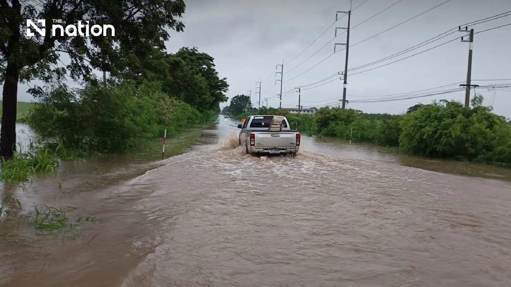

DOH provides round-the-clock monitoring and assistance
The DOH has deployed staff to assist motorists, manage traffic and monitor flood conditions 24 hours a day.
The DOH urged motorists to travel cautiously and follow warning and advisory signs. Drivers requiring assistance or information on highway conditions can call the department’s free 1586 hotline, available 24 hours a day, or consult the Highway Disaster Management System (HDMS) website.