
Water Office monitors 3 eastern dams ahead of October 15–16 rain



Thailand’s October 14 water report puts Nong Pla Lai at 106% of storage capacity, with heavy rain forecast for October 15–16.
- Thailand's water authority is monitoring three eastern dams—Nong Pla Lai, Prasae, and Bang Phra—ahead of heavy rainfall predicted for October 15-16.
- One of the dams, Nong Pla Lai Reservoir, is a significant concern as it is already over capacity, holding 106% of its water storage.
- The other two monitored reservoirs, Prasae and Bang Phra, are also at high levels, holding 90% and 85% of their capacity, respectively.
- The agency has warned that the forecasted rain could cause flash floods and runoff, particularly in the East and other vulnerable regions.
Thailand’s Office of the National Water Resources (ONWR) has highlighted the need for close monitoring of three reservoirs serving the Eastern Economic Corridor, with Nong Pla Lai holding 106% of its storage capacity. The agency’s October 14, 2026 report also warned of heavy rain on October 15–16 that could trigger flash floods and runoff.
The ONWR report uses reservoir figures dated October 13 and Chao Phraya Basin measurements taken at 6am on October 14. Large and medium-sized reservoirs throughout Thailand held a combined 66,270 million cubic metres of water, equivalent to 82% of total storage capacity.

Nong Pla Lai exceeds storage capacity as three eastern reservoirs face scrutiny
Nong Pla Lai Reservoir contained 174 million cubic metres of water, or 106% of its storage capacity, requiring careful management of releases to limit downstream impacts.
The three reservoirs support the Eastern Economic Corridor (EEC), the economic development area covering Chonburi, Rayong and Chachoengsao. Their storage figures for October 13 were:
- Nong Pla Lai Reservoir: 174 million cubic metres, or 106% of storage capacity.
- Prasae Reservoir: 265 million cubic metres, or 90% of storage capacity.
- Bang Phra Reservoir: 100 million cubic metres, or 85% of storage capacity.
Western reservoirs reach 96% as national storage stands at 82%
Western Thailand had the highest regional reservoir storage level, both by volume and as a proportion of capacity, according to the October 13 figures. Eastern reservoirs had the second-highest proportion at 87%.
The regional breakdown for large and medium-sized reservoirs was:
- West: 27,299 million cubic metres, or 96% of storage capacity.
- East: 2,754 million cubic metres, or 87% of storage capacity.
- North: 21,033 million cubic metres, or 76% of storage capacity.
- Northeast: 8,514 million cubic metres, or 70% of storage capacity.
- Central region: 1,294 million cubic metres, or 69% of storage capacity.
- South: 5,376 million cubic metres, or 69% of storage capacity.
ONWR put the national volume of usable water at 42,142 million cubic metres, equivalent to 74% of usable storage capacity.

Heavy rain forecast for October 15–16 raises flash-flood concerns
ONWR forecast isolated heavy rain in upper Thailand on October 15–16, particularly in western parts of the North and Central region, and in the East. Parts of the South were also expected to experience heavy rain.
The agency warned that heavy and accumulated rainfall could cause flash floods and runoff. Residents in vulnerable areas were urged to monitor forecasts and water conditions, particularly in the upper South, lower Central region, the East, Bangkok and surrounding provinces.
The October 14 weather outlook had identified isolated heavy rain particularly in:
- The lower Northeast.
- The lower Central region, including Bangkok and surrounding provinces.
- The East.
- The upper South.
The ONWR graphic accompanying the October 14 report listed the following regional rainfall maxima over 24 hours:
- Central region: Suphan Buri, 102 millimetres.
- South: Ranong, 88 millimetres.
- North: Uthai Thani, 85 millimetres.
- West: Kanchanaburi, 85 millimetres.
- Northeast: Ubon Ratchathani, 60 millimetres.
- East: Chonburi, 22 millimetres.
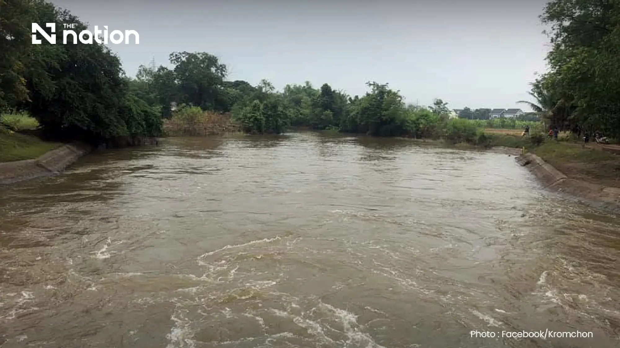

Chao Phraya Dam releases 1,900 cubic metres a second
Chao Phraya Dam was releasing 1,900 cubic metres of water per second at 6am on October 14. The upstream water level stood at 15.96 metres above mean sea level, while the downstream level was 14.36 metres above mean sea level.
ONWR reported falling water levels at two monitoring stations in Nakhon Sawan, with all three listed stations remaining below their riverbanks. The readings at 6am were:
- P.17 in Banphot Phisai district: The water level was 34.77 metres above mean sea level, or 3.48 metres below the riverbank, and was falling.
- N.67 in Chum Saeng district: The water level was 24.76 metres above mean sea level, or 3.45 metres below the riverbank, and was falling.
- C.2 in Mueang Nakhon Sawan district: Water was flowing at 1,766 cubic metres per second. The water level was 22.08 metres above mean sea level, or 3.62 metres below the riverbank.
Water levels above and below Chao Phraya Dam remained under close monitoring as authorities managed releases ahead of further rainfall.
