
TMD issues five-day rain and hail alert for November 5–9



Upper Thailand faces thundershowers, gusty winds and hail on November 5–7, with heavy to very heavy rain in the South on November 7–9.
- The Thai Meteorological Department issued a weather alert for November 5–9, warning of unsettled weather in upper Thailand and heavy rain in the South.
- Upper Thailand, starting with the Northeast on Nov 5–7, will experience thundershowers, gusty winds, and hail.
- Southern Thailand is forecast to have heavy to very heavy rain from Nov 7–9, creating a risk of flash floods and runoff.
- The weather is caused by a high-pressure system from China, which will also result in waves exceeding 2 meters during thundershowers in the Andaman Sea and Gulf of Thailand.
The Thai Meteorological Department (TMD) issued Advisory No. 4 at 5am on November 3, 2026, Thailand time, covering unsettled weather in upper Thailand and heavy to very heavy rain in the South over November 5–9. The advisory includes hail and gusty winds in upper Thailand and flash-flood risks in southern areas.
Northeast faces unsettled weather first on November 5–7
The Northeast will be the first region affected by thundershowers, gusty winds, hail and isolated heavy rain on November 5–7, according to the TMD. The North, Central region, including Bangkok and surrounding areas, and the East will experience unsettled conditions in the next phase.
The TMD advises people in areas affected by thundershowers and gusty winds to avoid open spaces, large trees and unsecured billboards.


Southern Thailand faces heavy to very heavy rain on November 7–9
Rainfall will increase across the South on November 7–9, with heavy rain in many areas and isolated very heavy downpours, according to the TMD. Accumulated rainfall could cause flash floods and rapid runoff, particularly on foothill slopes near waterways and in low-lying areas.
The TMD attributes the November 5–9 weather outlook to another high-pressure system, or cool air mass, from China extending across upper Thailand and the South China Sea. The system will strengthen easterly winds over Thailand and the Gulf of Thailand.
Waves in the Andaman Sea and Gulf of Thailand are forecast to exceed 2 metres in thundershowers. The TMD advises mariners to navigate cautiously and avoid storm-affected waters.
People should plan daily activities and travel carefully over November 5–9 and continue monitoring TMD announcements to reduce the risks from adverse weather.
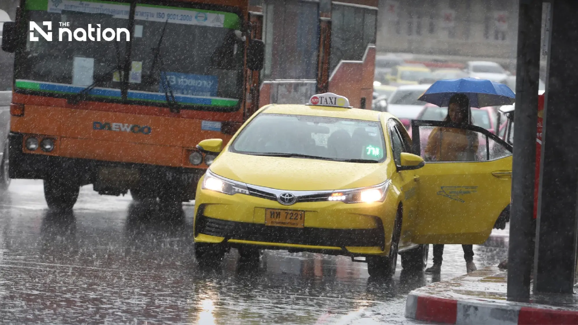

November 3–4 forecast identifies 41 provinces and Bangkok for thundershowers
The TMD’s separate daily forecast covers 6am on November 3 to 6am on November 4, Thailand time, and identifies 41 provinces, along with Bangkok and surrounding areas, where thundershowers are expected. Gusty winds remain possible in parts of the North, Northeast, Central region and East, while the South will see increasing rainfall and isolated heavy downpours.
The daily forecast attributes the current conditions to a fresh high-pressure system from China covering the upper Northeast and the South China Sea, alongside easterly winds prevailing over the Gulf of Thailand, Thailand and the Andaman Sea.
Bangkok and surrounding areas are forecast to have thundershowers across 60% of the area, with isolated gusty winds. Minimum temperatures will be 24–26°C and maximums 33–36°C, with southeasterly winds of 10–20 km/h.
In the East, thundershowers will cover 60% of the region, accompanied by isolated gusty winds, mainly in Nakhon Nayok, Prachin Buri, Sa Kaeo, Chachoengsao, Chon Buri, Rayong, Chanthaburi and Trat. Minimum temperatures will be 23–25°C and maximums 33–35°C, with southeasterly winds of 10–30 km/h. Waves off the eastern coast will generally remain below 1 metre but exceed 2 metres in thundershowers.
The North will have thundershowers across 30% of the region, with isolated gusty winds, mainly in Mae Hong Son, Chiang Mai, Uttaradit, Tak, Phitsanulok and Phetchabun. Minimum temperatures will be 21–24°C and maximums 35–37°C, with easterly winds of 10–20 km/h.
In the Northeast, thundershowers will affect 20% of the region, with isolated gusty winds, mainly in Khon Kaen, Chaiyaphum, Nakhon Ratchasima, Buriram, Surin, Si Sa Ket and Ubon Ratchathani. Minimum temperatures will range from 21–25°C and maximums from 35–36°C, with northeasterly winds of 10–20 km/h.
The Central region will experience thundershowers across 40% of the area, with isolated gusty winds, mainly in Kanchanaburi, Suphan Buri, Lop Buri, Saraburi, Ratchaburi, Phra Nakhon Si Ayutthaya, Nakhon Pathom, Samut Songkhram and Samut Sakhon. Minimum temperatures will be 24–26°C and maximums 35–36°C, with easterly winds of 10–20 km/h.
Southern coastal regions face 60% thundershower coverage on November 3–4
The South’s eastern region will have thundershowers across 60% of the area in the daily forecast, with isolated heavy rain in Surat Thani, Nakhon Si Thammarat, Phatthalung, Songkhla, Pattani, Yala and Narathiwat. Minimum temperatures will be 22–25°C and maximums 32–34°C.
Winds along the South’s eastern coast will be easterly from Surat Thani northwards and southeasterly from Nakhon Si Thammarat southwards, at 15–30 km/h in both areas. Waves will be around 1 metre, exceeding 2 metres in thundershowers.
On the South’s western side, thundershowers will cover 60% of the region, mainly in Phang Nga, Phuket, Trang and Satun. Minimum temperatures will be 23–24°C and maximums 32–35°C, with easterly winds of 15–30 km/h. Waves will be around 1 metre along the Andaman coast, exceeding 1 metre offshore and 2 metres in thundershowers.
