
Very heavy rain puts 41 provinces and Bangkok on alert



The TMD forecasts very heavy rain in six provinces, 70% storm coverage in Bangkok and rough seas, with flash floods and run-off possible
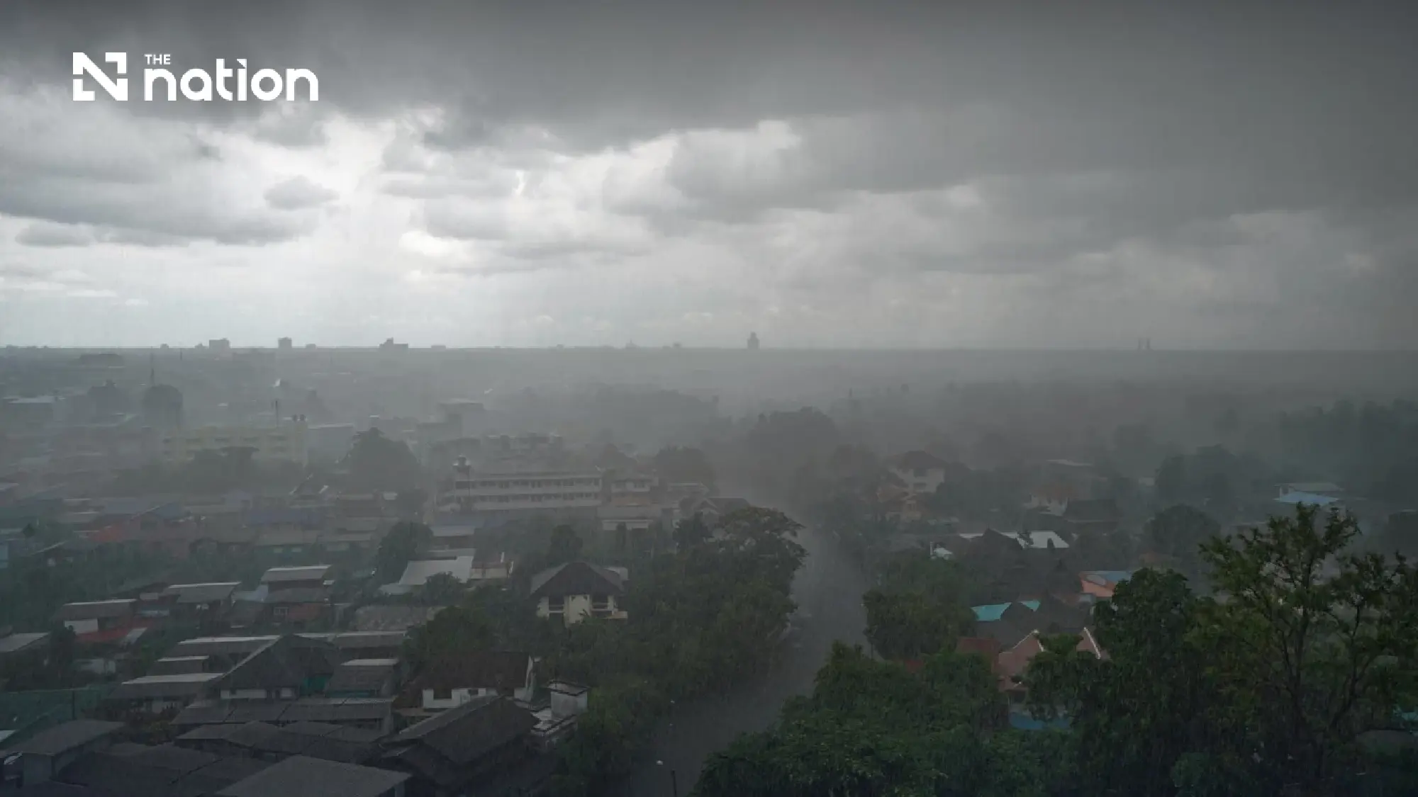
Thailand is set for more rain on Monday (August 31, 2026), with very heavy downpours forecast in six provinces and thunderstorms expected across 70% of Bangkok and surrounding provinces, the Thai Meteorological Department (TMD) said.
Very heavy rain is forecast in Mae Hong Son, Tak, Bueng Kan, Nakhon Phanom, Chanthaburi and Trat. The regional forecast names another 35 provinces where heavy rain or thunderstorms are expected, bringing the total to 41 provinces, with Bangkok listed separately.
The 24-hour forecast covers the period from 6am on Monday to 6am on Tuesday (September 1).
A monsoon trough has moved down across the upper North and upper Northeast towards a depression off the southern coast of China. A fairly strong southwest monsoon is also prevailing over the Andaman Sea, Thailand and the Gulf of Thailand.
People in affected areas should remain alert to heavy and accumulated rainfall that could cause flash floods and rapid run-off, particularly on foothill slopes near waterways and in low-lying areas. Travellers should avoid routes repeatedly affected by flooding, including low-lying roads where temporary inundation may occur.
Rough seas and small-boat warning
Waves in the upper Andaman Sea will reach two to three metres and may exceed three metres during thunderstorms. Waves in the lower Andaman Sea and upper Gulf of Thailand will be about two metres, rising above two metres in stormy areas.
Mariners in the Andaman Sea and Gulf of Thailand should proceed with caution and avoid areas experiencing thunderstorms. Small boats in the upper Andaman Sea should remain ashore for the time being.
Regional forecast

- North: Thunderstorms across 70% of the region. Heavy rain is forecast in Chiang Mai, Chiang Rai, Lampang, Lamphun, Phayao, Phrae, Nan, Uttaradit, Sukhothai, Kamphaeng Phet, Phitsanulok, Phichit and Phetchabun, with very heavy rain in Mae Hong Son and Tak. Temperatures will range from 22–26°C to highs of 28–33°C. Southwest winds will reach 10–20 kilometres per hour.
- Northeast: Thunderstorms across 70% of the region. Heavy rain is expected in Loei, Nong Khai, Nong Bua Lam Phu, Udon Thani, Sakon Nakhon, Kalasin, Yasothon, Mukdahan, Amnat Charoen and Ubon Ratchathani, with very heavy falls in Bueng Kan and Nakhon Phanom. Temperatures will range from 23–24°C to highs of 28–34°C. Southwest winds will reach 10–25km/h.
- Central region: Thunderstorms across 60% of the region, with heavy rain in Kanchanaburi. Temperatures will range from 24–26°C to highs of 34–35°C. Southwest winds will reach 10–25km/h.
- East: Thunderstorms across 70% of the region. Heavy rain is forecast in Nakhon Nayok, Prachin Buri and Rayong, with very heavy rain in Chanthaburi and Trat. Temperatures will range from 23–28°C to highs of 28–34°C. Southwest winds will reach 20–35km/h. Waves will be about two metres, rising above two metres during thunderstorms.
- South, east coast: Thunderstorms across 40% of the region, mainly in Phetchaburi, Prachuap Khiri Khan, Chumphon and Surat Thani. Temperatures will range from 23–26°C to highs of 32–35°C. From Surat Thani northwards, southwest winds will reach 20–35km/h, with waves of one to two metres, about two metres offshore and above two metres during thunderstorms. From Nakhon Si Thammarat southwards, winds will reach 15–35km/h, with waves of about one metre, rising to one to two metres offshore and above two metres in stormy areas.
- South, west coast: Thunderstorms across 40% of the region, mainly in Ranong, Phang Nga, Phuket and Krabi. Temperatures will range from 23–27°C to highs of 32–34°C. From Phuket northwards, southwest winds will reach 20–40km/h, with waves of two to three metres and above three metres during thunderstorms. From Krabi southwards, winds will reach 20–35km/h, with waves of about two metres and above two metres in stormy areas.
- Bangkok and surrounding provinces: Thunderstorms across 70% of the area. Temperatures will range from 25–26°C to highs of 32–35°C, with southwest winds of 10–25km/h.


Depression heads towards Taiwan
The strong low-pressure area off the southern coast of China has developed into a depression and is likely to strengthen further.
The system is forecast to approach Taiwan from Wednesday to Thursday (September 2–3). Travellers heading to the area should check weather conditions before departure. The depression is not expected to enter Thailand.
