
Could Thailand face a repeat of the 2011 floods? Three risk indicators and the threat of ‘rain bombs’
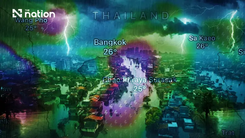


Could Thailand experience another flood disaster in 2026 as severe as the one in 2011? Based on their latest assessments of water and weather conditions, two disaster and environmental specialists consider a repeat this year “virtually impossible”
- Two experts, Assoc Prof Dr Seree Supratid and Asst Prof Dr Thon Thamrongnawasawat, consider a repeat of the 2011 flood disaster this year “virtually impossible”.
- Conditions differ from 2011: El Niño is prevailing, northern river flows are less than half the level recorded that year, and no tropical cyclone has directly affected Thailand so far.
- The experts warn of “rain bombs”, or intense localised downpours linked to global warming, which can trigger flash floods and overwhelm urban drainage.
Could Thailand experience another flood disaster in 2026 as severe as the one in 2011? Based on their latest assessments of water and weather conditions, two disaster and environmental specialists—Assoc Prof Dr Seree Supratid, director of Rangsit University’s Climate Change and Disaster Centre and an expert working with the Intergovernmental Panel on Climate Change (IPCC), and Asst Prof Dr Thon Thamrongnawasawat, a marine and environmental academic at Kasetsart University’s Faculty of Fisheries—consider a repeat this year “virtually impossible”. They point to fundamentally different climate conditions, northern river flows and the extent of flooding. Nevertheless, both warn that people should closely monitor the risk of run-off in western Thailand and intense localised downpours, or “rain bombs”, in urban areas.
Rain shifts west as accumulated totals exceed 300mm
Assoc Prof Dr Seree said an update prepared by Rangsit University’s Climate Change and Disaster Centre and the National Disaster Warning Council Foundation showed that accumulated rainfall over September 25–26 had exceeded 300 millimetres in several areas. Heavy to very heavy rain was continuing on September 26, particularly in western Thailand and some central provinces, including Kanchanaburi, Ratchaburi, Phetchaburi, Uthai Thani, Suphan Buri, Nakhon Pathom, Chai Nat, Nakhon Sawan, Tak and Kamphaeng Phet.

Meanwhile, Bangkok, neighbouring provinces and eastern Thailand, particularly Trat and Chanthaburi, experienced moderate to heavy rain in the morning, with conditions expected to ease during the afternoon.
Rainfall nationwide was expected to decline significantly from September 27, except in the West, where rain would continue. Conditions were expected to return to normal on September 28, with rain remaining in only some areas of the upper Northwest.

Northern flows in the Chao Phraya basin are less than half the 2011 level
In the Chao Phraya basin, the Royal Irrigation Department had announced an increase in releases from the Chao Phraya Dam to approximately 1,850 cubic metres per second, causing flood levels to rise in low-lying areas outside flood embankments.
Nevertheless, Assoc Prof Dr Seree insisted that a flood disaster on the scale of 2011 would not occur. He explained that a key warning sign of such a disaster would be northern floodwaters overtopping embankments.
“Northern flows passing through Nakhon Sawan are currently around 1,800 cubic metres per second, compared with as much as 4,600 cubic metres per second in 2011. The difference remains substantial.”

Government agencies criticised over inadequate risk assessment
Assoc Prof Dr Seree stressed that his purpose in sharing the information was to raise awareness without causing panic. He also highlighted shortcomings in water management and warnings issued by the agencies responsible.
“The flood-area projections previously posted by the centre remain sound. Many agencies lack the assessments of risk and severity needed to warn the public. This is why things have turned out this way.”
With many roads in Bangkok and neighbouring provinces flooded while awaiting drainage, Seree also questioned the readiness of drainage operations and the clarity of public communications.
“Plan your journeys today. Many roads in Bangkok and neighbouring provinces are flooded and awaiting drainage. Accelerating drainage is the highest priority. Are there enough pumps? Which agencies have informed the public about this?”
Comparing three key factors
Asst Prof Dr Thon, a marine and environmental academic at Kasetsart University’s Faculty of Fisheries, said a major flood that progressively inundated provinces from the North down to Bangkok, as happened in 2011, was “virtually impossible”. He outlined three principal statistical comparisons.
Climate conditions: Thailand was affected by La Niña during the first half of 2011, bringing rain earlier than usual. Rainfall in March and April reached twice the average. By contrast, Thon said this year’s climate was under the influence of El Niño and developing towards a “super El Niño”.
Tropical cyclones: In 2011, five tropical cyclones, including tropical storms and typhoons, directly affected Thailand. This year, Thon said, no tropical cyclone had directly affected the country so far.
Cumulative flooded area: Satellite data from the Geo-Informatics and Space Technology Development Agency (GISTDA) showed a marked difference. In August 2011, the cumulative flooded area was reported at 912,000 hectares. In August this year, it was below 64,000 hectares, less than one-tenth of the 2011 figure.
‘Rain bombs’ and localised downpours linked to global warming
Asst Prof Dr Thon warned, however, that the absence of a large-scale flood disaster would not rule out intense localised downpours, or “rain bombs”, capable of causing flash floods or flooding that takes time to drain. He explained that global warming raises sea temperatures and increases evaporation, with atmospheric water vapour increasing by approximately 7% for every 1°C rise in temperature.
Consequently, intense localised rain can cause flash flooding in geographically vulnerable areas or low-lying places with poor drainage, such as Pattaya and several Bangkok districts.
Rain radar and weather apps to prepare for flooding
Thailand is currently being affected by a monsoon trough, bringing heavy rain to the East, the lower Northeast and areas around Bangkok. Run-off is also accumulating in some provinces, including Ayutthaya and Prachin Buri.
“Global warming already tells us that we are dealing with climate variability. And the closer a rainfall forecast is to the event, the more accurate it becomes.”
For now, the best preparation is to improve the ability to check weather information independently. This includes using rain radar to anticipate rainfall two to three hours ahead, consulting reliable weather apps and websites such as windy.com and thaiwater.net, and following updates from the Thai Meteorological Department.
Source: Bangkokbiznews
