
Heavier rain forecast for Bangkok and several other Thai regions
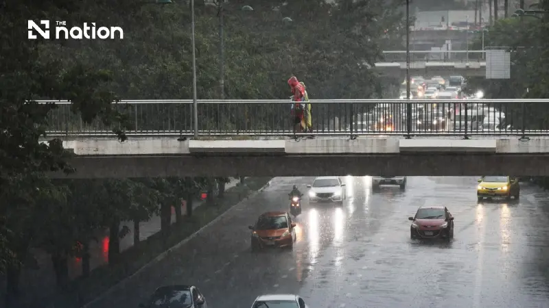


Rainfall is set to increase in Bangkok and surrounding provinces, while waves in the Andaman Sea and Gulf of Thailand are forecast to exceed three metres in thunderstorms.
- The Thai Meteorological Department has issued a warning for heavy to very heavy rain across several regions of Thailand from October 18 to 25.
- Bangkok and the Central region are forecast to experience increased rainfall from October 21-25, while southern and eastern regions will be affected earlier, from October 18-20.
- Authorities warn the public of potential hazards including flash floods, mudslides, and strong gusts caused by the accumulated rainfall.
- The severe weather, caused by a monsoon trough and a cold air mass, will also generate waves exceeding three meters in the Andaman Sea and Gulf of Thailand.
The Thai Meteorological Department issued an advisory titled “Heavy to Very Heavy Rains in Thailand” at 5pm on Sunday (October 18, 2026), warning of heavy to very heavy rain in some areas from October 18 to 25.
It advised the public to watch for hazards from accumulated rainfall and strong gusts.
Areas and periods to watch
Southern and eastern Thailand are forecast to see persistent rain from October 18 to 20, with heavy to very heavy falls in some areas.
Rainfall is forecast to increase in the lower Northeast, the Central region including Bangkok and surrounding provinces, the East and the upper South from October 21 to 25.
Some areas are expected to experience heavy to very heavy rain, with strong gusts in places.
Flash floods and run-off from higher ground
People in these areas should beware of heavy to very heavy rain and the continued accumulation of rainfall, which could cause flash floods, rapid run-off from higher ground and mudslides, particularly on foothill slopes near waterways and in low-lying areas.
They should also avoid travelling along routes prone to repeated flooding, particularly in low-lying areas where water may accumulate.
Monsoon trough and cold air mass are key factors
The department said a monsoon trough would initially lie across the lower South, while the southwest monsoon would prevail over the lower Andaman Sea.
The trough would then shift northwards to lie across the central part of the South.
Meanwhile, a high-pressure system, or cold air mass, from China is forecast to extend over the upper North, the upper Northeast and the South China Sea.
Wave warning for the Andaman Sea and Gulf of Thailand
Waves in the Andaman Sea and Gulf of Thailand are forecast to exceed three metres in thunderstorm areas.
Mariners should navigate with caution and avoid areas experiencing thunderstorms.
The department advised the public to plan their daily activities and travel carefully and keep following advisories at www.tmd.go.th, or by calling 0-2399-4012-13 and the 1182 hotline, around the clock.
It said the next advisory would be issued at 5am on October 19.
