
Heavy rain warning issued for western and southern Thailand
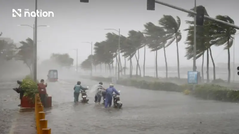


JICC warns western and southern Thailand of heavy rain from October 13-18 as authorities accelerate drainage in the eastern region.
Thailand’s Joint Information and Communication Center (JICC) has warned western and southern provinces to prepare for heavy rain from October 13-18, with Uthai Thani, Phetchaburi and several southern provinces among areas requiring close monitoring.
Deputy Government Spokesperson Lalida Perisvivatana said on October 12 that water-management agencies were also accelerating drainage in the eastern region while water levels downstream of the Chao Phraya Dam were expected to gradually decline.
The Office of the National Water Resources and the Interior Ministry have coordinated water management around the Khlong 12 sluice gate in Pathum Thani following concerns over drainage in the area.
Discharge from the Chao Phraya Dam has been reduced from 2,000 to 1,900 cubic metres per second, while releases from the Pasak Jolasid and Rama VI dams have also been lowered.
With little additional rain in the upper basin, authorities expect water levels downstream through Phra Nakhon Si Ayutthaya towards Pathum Thani to fall progressively.

Western provinces remain under watch
In the western region, Phetchaburi has experienced flooding after heavy rain fell downstream of dams, sending run-off into low-lying areas.
Ratchaburi has also recorded some river overflow, although rainfall is expected to be lower than during the previous week.
Rain is forecast to increase in western parts of the country from October 13-16, with Uthai Thani, Kanchanaburi, Ratchaburi and Phetchaburi among areas requiring particular vigilance for heavy to very heavy rain.
Uthai Thani, Suphan Buri and parts of the South are expected to face heavier rain around October 14.

Fatah Masthawee, acting specialist on meteorological forecasting system development at the Thai Meteorological Department, said rainfall would increase across western Thailand as well as parts of the North, Central region, Bangkok and its vicinity from October 13-16.
Bangkok could experience periods of heavy rain from late afternoon into the evening.
The Thai Meteorological Department’s latest seven-day outlook also forecasts increased rain in upper Thailand from October 13-16, particularly in the western North, Central region and East, with isolated heavy rain continuing in the South.
Southern provinces face heavy rain risk
Southern Thailand is expected to remain under close watch through most of the week.
Areas at risk include Nakhon Si Thammarat, Phatthalung, Songkhla, Yala, Narathiwat, Phuket, Krabi, Trang and Satun.
From October 16-18, the focus is expected to shift further south to both the Gulf and Andaman coasts, with Krabi, Phang Nga, Ranong and Trang among provinces facing a risk of heavy rain, along with the three southern border provinces of Pattani, Yala and Narathiwat.
Rainfall is expected to ease overall on October 17-18, although heavy rain could persist in parts of the South.
The Meteorological Department’s current forecast also warns of isolated heavy rain in southern Thailand through the period.
Authorities accelerate Bang Pakong drainage
In the eastern region, floodwater has concentrated in Chachoengsao and is draining towards the Bang Pakong River.
The process remains slow because of high sea levels, prompting the Royal Irrigation Department and Royal Thai Navy to deploy water-propulsion equipment to accelerate drainage.
Longer-term measures are expected to include improvements to the lower eastern Chao Phraya irrigation system and the Chai Nat-Pasak-Gulf of Thailand flood-diversion project.
Authorities said the reduction in dam releases and lower upstream rainfall should gradually ease conditions in areas downstream of the Chao Phraya system, while western and southern provinces remain the main areas to watch for fresh rainfall.
