
Heavy rain and flash-flood risk forecast across Thailand from July 20-25
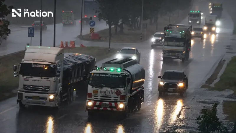


Thailand is set for increased rainfall from July 20-25, with heavy downpours and possible flash floods in the North, upper Northeast and western Central region.
Thailand is expected to see increased rainfall from July 20-25, with heavy downpours forecast in some areas and warnings of possible flash floods, run-off and overflowing waterways.
The Thai Meteorological Department said the North, upper Northeast and western side of the Central region would face the greatest risk from heavy and accumulated rainfall.
The conditions will be driven by a low-pressure cell over Laos and upper Vietnam, combined with a strengthening south-westerly monsoon prevailing over the Andaman Sea, Thailand and the Gulf of Thailand.
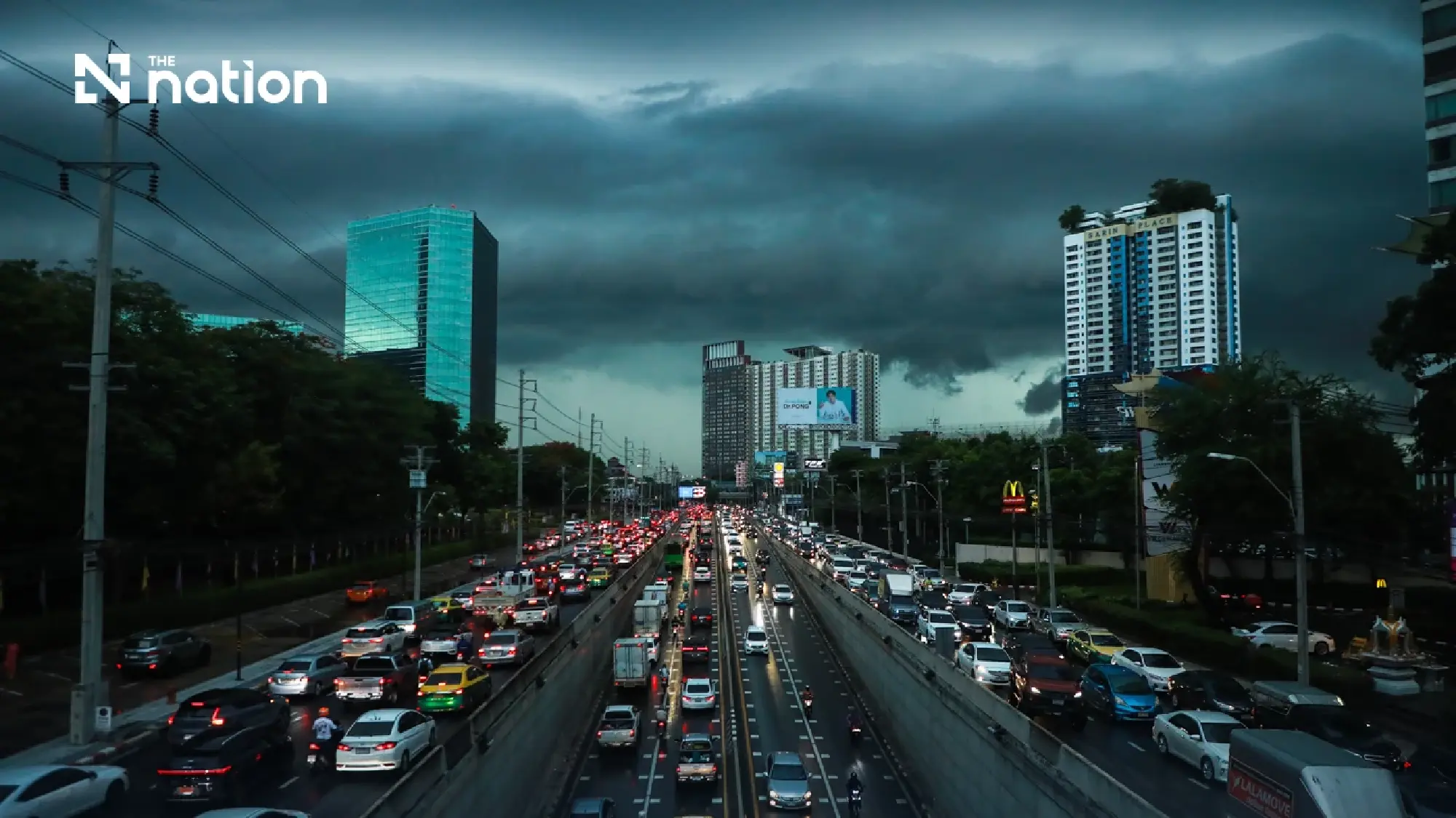

Northern and western areas face highest flood risk
Residents, particularly in the North and western Central provinces, have been advised to watch for heavy rain and prolonged downpours throughout the six-day period.
Accumulated rainfall could trigger flash floods, run-off from higher ground and rivers overflowing their banks, particularly in foothill communities, areas close to waterways and low-lying locations.
People living in vulnerable areas should closely follow official weather alerts and local water-level updates.
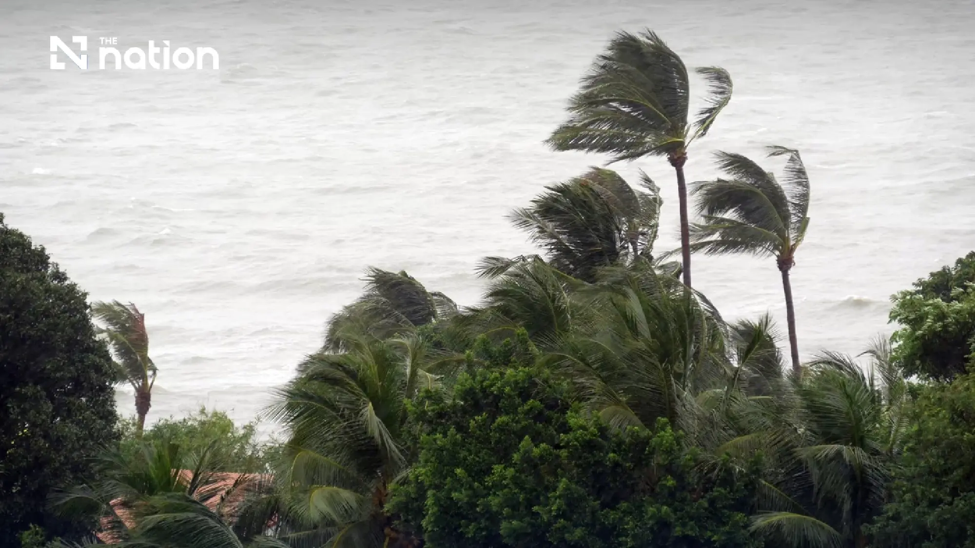

Waves may exceed two metres during storms
Conditions in the Andaman Sea and the Gulf of Thailand will remain moderate, although waves may become dangerous around thunderstorms.
Waves in the upper Andaman Sea are forecast to reach about two metres and may rise above two metres in thundery areas.
The lower Andaman Sea and upper Gulf of Thailand will have waves of one to two metres, also rising above two metres during thunderstorms.
Mariners have been advised to proceed with caution and avoid areas affected by thunderstorms.
Bangkok set for afternoon and evening storms
Bangkok and its surrounding provinces are forecast to experience thundershowers across 20% of the area, mainly from the afternoon into the evening.
Temperatures will range from lows of 26-28°C to highs of 35-37°C, with south-westerly winds of 10-20 kilometres per hour.
Regional forecast through Monday evening
The North will have thundershowers across 30% of the region, mainly in Mae Hong Son, Chiang Mai, Chiang Rai, Phayao, Nan and Tak. Temperatures will range from 22-36°C.
The Northeast will have storms across 20% of the region, particularly in Loei, Nong Khai, Bueng Kan, Sakon Nakhon, Nakhon Phanom and Ubon Ratchathani. Temperatures will range from 23-37°C.
The Central region will see thundershowers across 20% of the area, mainly in Nakhon Sawan, Uthai Thani, Chai Nat, Kanchanaburi, Ratchaburi and Nakhon Pathom. Temperatures will range from 23-37°C.
The East will have storms across 20% of the region, particularly in Nakhon Nayok, Rayong, Chanthaburi and Trat. Temperatures will range from 24-36°C, while waves will reach one to two metres and rise above two metres during thunderstorms.
Rain forecast on both southern coasts
The southern east coast will have thundershowers across 30% of the region, mainly in Nakhon Si Thammarat, Phatthalung, Songkhla, Pattani, Yala and Narathiwat.
Temperatures will range from 23-36°C. Waves will be about one metre high, rising above one metre offshore and above two metres in thundery areas.
The southern west coast will also see storms across 30% of the region, mainly in Phuket, Krabi, Trang and Satun, with temperatures of 24-34°C.
From Phang Nga northwards, waves will reach one to two metres. From Phuket southwards, they will be about one metre, but may exceed two metres during thunderstorms.
