
Monsoon brings heavier rain across Thailand, North wettest
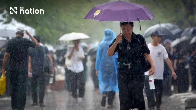


Thailand faces increased rain on July 22, with heavy downpours in the North and upper Northeast and afternoon-to-evening storms forecast for Bangkok
Thailand is expected to receive more rain on Wednesday (July 22), with heavy downpours forecast in parts of the North, Northeast and East as the southwest monsoon strengthens, according to the Thai Meteorological Department (TMD).
The monsoon over the Andaman Sea, Thailand and the Gulf of Thailand has intensified to moderate strength, while a low-pressure area remains over upper Vietnam.
People in the North and upper Northeast have been advised to watch for hazards caused by heavy and accumulated rainfall.
Bangkok and surrounding provinces have a 40% chance of thunderstorms, mainly between the afternoon and evening.
Marine conditions and developing weather system
Waves in the upper Andaman Sea and upper Gulf are expected to reach one to two metres, while waves in the lower Andaman Sea will be about one metre high.
In thunderstorm areas, waves could rise above two metres. Mariners should proceed with caution and avoid sailing through storms.
An active low-pressure area over the Pacific Ocean is expected to strengthen into a tropical depression and move across the northern Philippines between July 24 and 25.
Regional forecast
Bangkok and surrounding provinces
- Thunderstorms over 40% of the area, mainly from afternoon to evening
- Minimum temperature: 26–28°C
- Maximum temperature: 35–36°C
- Southwesterly winds: 10–20 kilometres per hour
Northern Thailand
- Thunderstorms over 60% of the area
- Heavy rain possible in Mae Hong Son, Chiang Mai, Chiang Rai, Phayao, Phrae, Nan, Uttaradit, Lamphun, Lampang and Tak
- Minimum temperature: 22–26°C
- Maximum temperature: 28–34°C
- Southwesterly winds: 10–20kph
Northeastern Thailand
- Thunderstorms over 60% of the area
- Heavy rain mainly in Nong Khai, Udon Thani, Bueng Kan, Sakon Nakhon, Nakhon Phanom, Mukdahan, Amnat Charoen and Ubon Ratchathani
- Minimum temperature: 23–25°C
- Maximum temperature: 29–35°C
- Southwesterly winds: 10–20kph
Central Thailand
- Thunderstorms over 40% of the area
- Rain mainly in Nakhon Sawan, Uthai Thani, Chai Nat, Lop Buri, Saraburi, Kanchanaburi and Ratchaburi
- Minimum temperature: 25–26°C
- Maximum temperature: 33–36°C
- Southwesterly winds: 10–20kph
Eastern Thailand
- Thunderstorms over 60% of the area
- Heavy rain possible in Nakhon Nayok, Prachin Buri, Chanthaburi and Trat
- Minimum temperature: 23–28°C
- Maximum temperature: 33–35°C
- Southwesterly winds: 15–35kph
- Waves: one to two metres, rising above two metres during thunderstorms
Southern Thailand — east coast
- Thunderstorms over 30% of the area
- Rain mainly in Phetchaburi, Prachuap Khiri Khan, Phatthalung, Songkhla, Pattani, Yala and Narathiwat
- Minimum temperature: 23–25°C
- Maximum temperature: 34–36°C
- Southwesterly winds: 15–30kph
- Waves: about one metre and above one metre offshore, rising above two metres during thunderstorms
Southern Thailand — west coast
- Thunderstorms over 40% of the area
- Rain mainly in Ranong, Phang Nga, Phuket, Krabi and Trang
- Minimum temperature: 23–27°C
- Maximum temperature: 32–35°C
- From Phang Nga northwards: southwesterly winds at 15–35kph, with waves of one to two metres
- From Phuket southwards: southwesterly winds at 15–30kph, with waves of about one metre
- Waves may exceed two metres in thunderstorm areas
The forecast covers the period from 6am on Wednesday until 6am on Thursday.
