
ONWR warns four major dams exceed upper storage curve
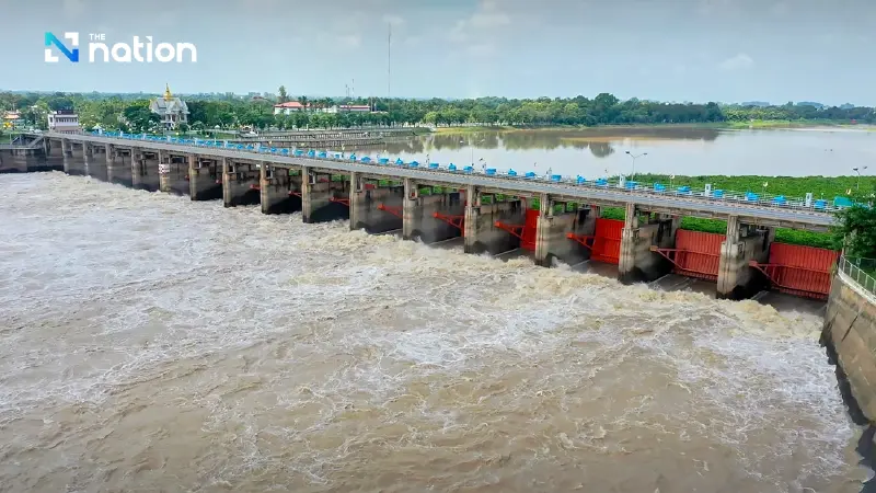


ONWR warns of heavy rain from May 28-31 as four major dams exceed their upper storage curve and 27 medium reservoirs top 80%
- The Office of the National Water Resources (ONWR) has warned that four major dams have water levels exceeding their upper storage curve.
- The four specific dams are Kio Lom and Mae Chang in the North, and Nam Pung and Lam Pao in the Northeast.
- This warning is issued as heavy to very heavy rain is forecast for several parts of Thailand from May 28-31 due to monsoon activity.
- In addition to the four major dams, 27 medium-sized reservoirs are also under watch for holding more than 80% of their storage capacity.
The Office of the National Water Resources (ONWR) has warned the public to prepare for unstable weather after its latest national water situation report showed that four major reservoirs are holding more water than their upper storage curve, while heavy rain is forecast in several parts of the country from May 28-31.
In its national water situation summary for May 26, 2026, ONWR said a moderate southwesterly monsoon was prevailing over Thailand, bringing thunderstorms and heavy rain in some areas, particularly along the western coast of the South.
The agency also ordered close monitoring of four large water sources where water levels have exceeded the upper rule curve, as well as several medium-sized reservoirs across the country.

Heavy to very heavy rain forecast from May 28-31
According to the weather forecast, rainfall is expected to increase nationwide from May 28-31, with heavy rain in some areas.
The eastern region and the western coast of the South require special monitoring, as some areas are expected to see heavy to very heavy rain.
The conditions are being driven by a monsoon trough lying across the Central region, the lower Northeast and the East, combined with a strengthening southwesterly monsoon over the Andaman Sea, Thailand and the Gulf of Thailand.
Highest rainfall by region as of May 26
The provinces recording the highest rainfall in each region were:
• South: Phang Nga, the highest in the country at 157 millimetres
• West: Ratchaburi, 71 millimetres
• East: Trat, 67 millimetres
• North: Mae Hong Son, 60 millimetres
• Northeast: Buri Ram, 57 millimetres
• Central region: Suphan Buri, 25 millimetres
Four major dams and 27 medium reservoirs under watch
Total water nationwide currently stands at 57% of storage capacity, or 45.669 billion cubic metres. Usable water stands at 38%, or 21.559 billion cubic metres.
However, four major reservoirs are now under close watch because their water levels are above the upper storage curve. They are:
North: Kio Lom Dam and Mae Chang Dam
Northeast: Nam Pung Dam and Lam Pao Dam
ONWR said 27 medium-sized reservoirs were also holding more than 80% of storage capacity. They are located as follows:
• North: 11 reservoirs
• Northeast: 12 reservoirs
• West: 2 reservoirs
• South: 2 reservoirs
Water levels by region
ONWR reported water volumes by region as follows:
• North: 15.287 billion cubic metres, or 55%
• Northeast: 5.600 billion cubic metres, or 46%
• Central region: 607 million cubic metres, or 31%
• East: 1.112 billion cubic metres, or 35%
• West: 18.453 billion cubic metres, or 65%
• South: 4.610 billion cubic metres, or 60%
Chao Phraya basin’s four main dams
In the Chao Phraya River basin, one of Thailand’s key agricultural areas, water levels in the main dams remain able to receive the next round of rainfall, although some lower dams are seeing reduced water volumes.
Current levels in the four main dams are:
• Bhumibol Dam: 57%, or 7.696 billion cubic metres
• Sirikit Dam: 55%, or 5.238 billion cubic metres
• Khwae Noi Bamrung Daen Dam: 26%, or 240 million cubic metres
• Pa Sak Jolasid Dam: 17%, or 168 million cubic metres
ONWR urged people in risk areas, particularly foothill communities near waterways and low-lying areas, to beware of heavy and accumulated rainfall that could trigger flash floods and runoff between May 28 and 31.
